Monday 14th and Tuesday 15th March 2022
Monday
Today we left Yulara for Kings Canyon. It was a 300km trip and the girls did very well.
We stop between 11-12pm for a cuppa and some lunch. The rest area we stopped at was called Salt Creek Rest Area. The area was made up of very soft red sand. It was a gorgeous little stop.
We continued past Kings Creek Station, Kathleen Springs and onto Kings Canyon Resort.
We arrived at the resort around 2pm and set up our van. Today was 39 degrees and our aircon kept the van at 34 degrees inside.
We relaxed most of the afternoon as it was too hot to do much else.
Tomorrow we visit Kings Canyon and Kathleen Springs.
Tuesday
We had a good night sleep and got ourselves packed and ready to move by 830am.
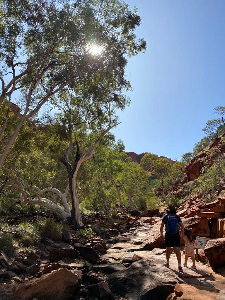
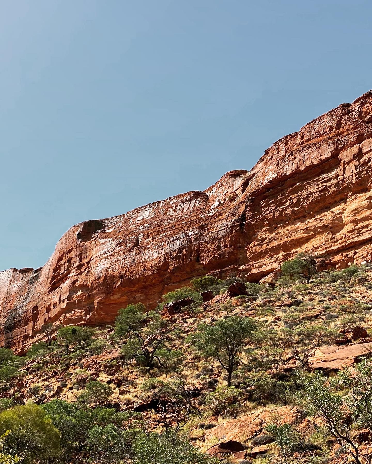
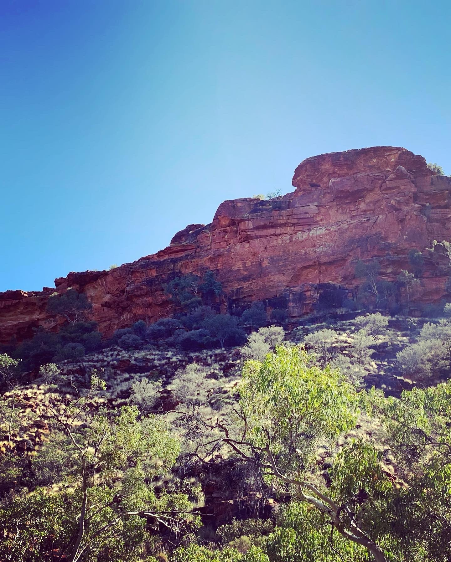
We drove about 5km East to the Kings Canyon turn off. The view of the canyon was already impressive from the carpark. The Rim Walk was closed by 9am today as the weather forecast was 40 degrees. We did the Kings Creek walk.
Madeline was walking with us and Charlotte was carried in the baby Bjorn. Madeline was already crying and screaming she wanted to be carried about 100m in. The walk was 2km return.

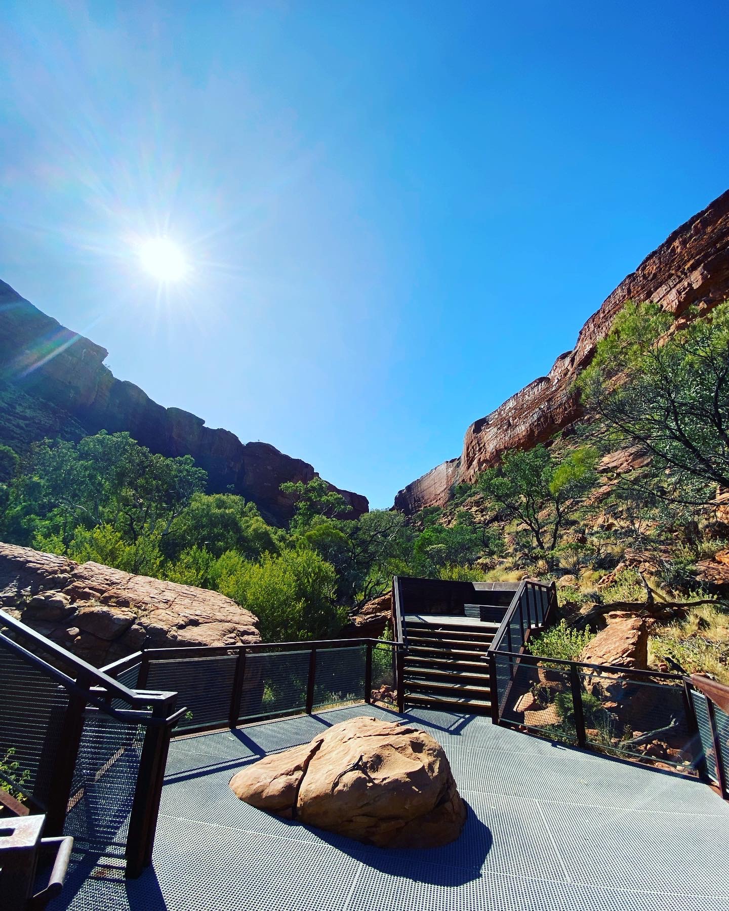
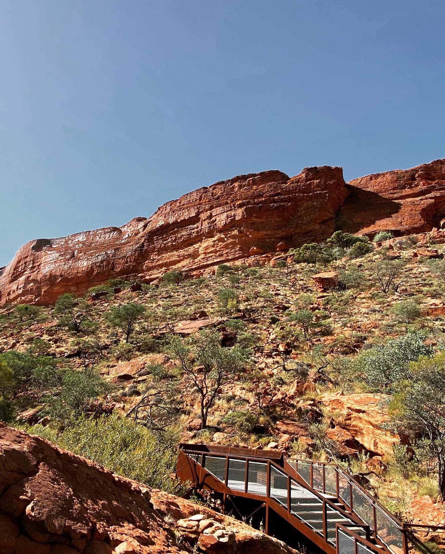
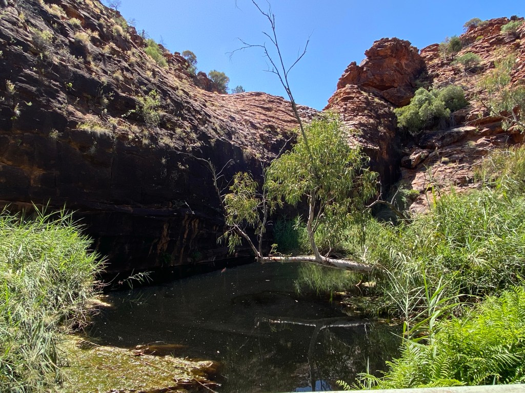
We walked through to the creek bed and then walked along it.
At the end of the walk was a platform looking directly up at the canyon.
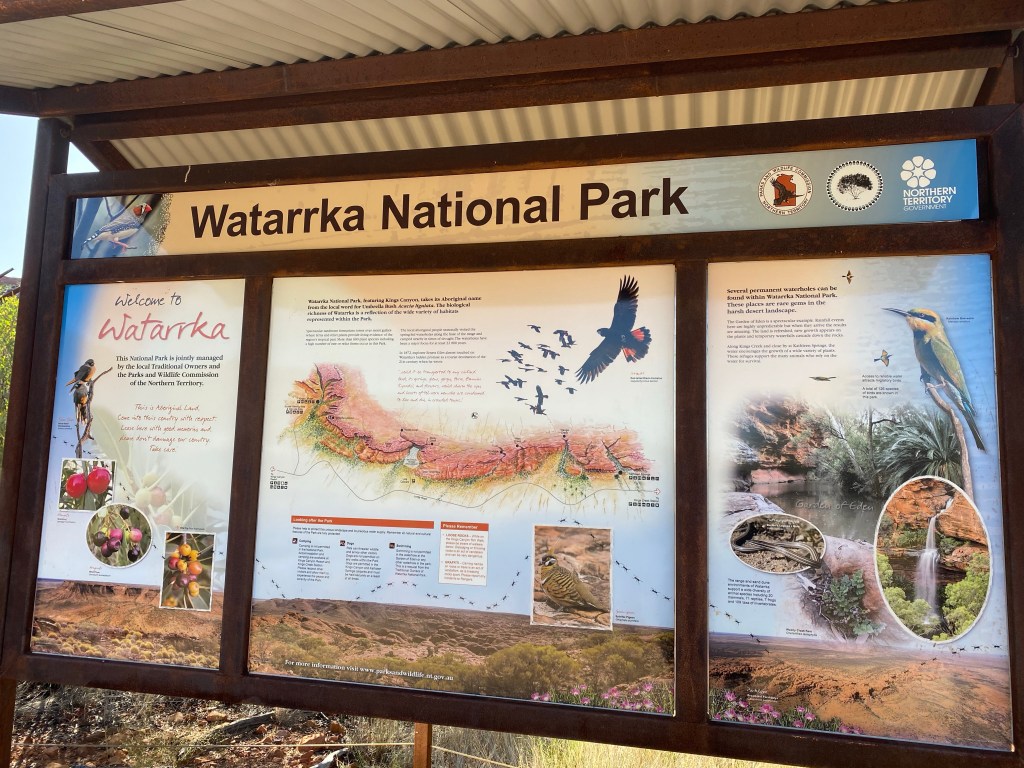
Watarrka National Park
Spectacular sandstone formations with deep gullies make up the George Gill Range, of which the western end is protected by Watarrka National Park. Kings Canyon and Kathleen Falls are within the National Park.
Geology
Kings Canyon is a valley that cuts firstly through a
layer of Mereenie Sandstone, deposited about 400 million years ago, now forming cliffs 30 metres high.
Below the cliffs, the slope is less steep and the valley cuts through the softer Carmichael Sandstone, deposited about 440 million years ago
Between the Mereenie and the Carmichael Sandstone is a thin layer of purple mudstone, which represents deposits laid down when the environment was changing from shallow marine (Carmichael) to an inland dune field in which there were rivers and lakes (Mereenie).
The indigenous people
This is the place of the Luritja people, who used the permanent waterholes and moist gullies to live and thrive in these parts.
Expeditions
On the 30th October 1872 Ernest Giles and Samuel Carmichael rode in on horses from the West and walked up the creek bed into the canyon.
William Gosse led an expedition into the area the next year.
In 1894 the Horn expedition brought in experts on flora, fauna, geology and anthropology. They were all impressed by the biological richness of the area.
Cattle
In 1880’s Tempe Downs cattle station was established on the land east of the canyon. Within 5 years the owners moved the cattle further west to Kathleen Springs.
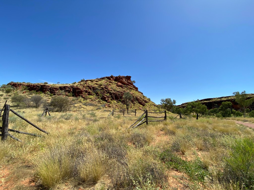
Kathleen Springs
A permanent waterhole at the entry of Kathleen Gorge. A special area for the indigenous people as a source of nourishment. Also a dead end trap for emus or other animals that ventured toward the waterhole.
Tomorrow
We head out of the National Park and back to the Stuart Highway. We will be crossing the NT/SA border on Thursday.
