
Sunday 30th May 2021
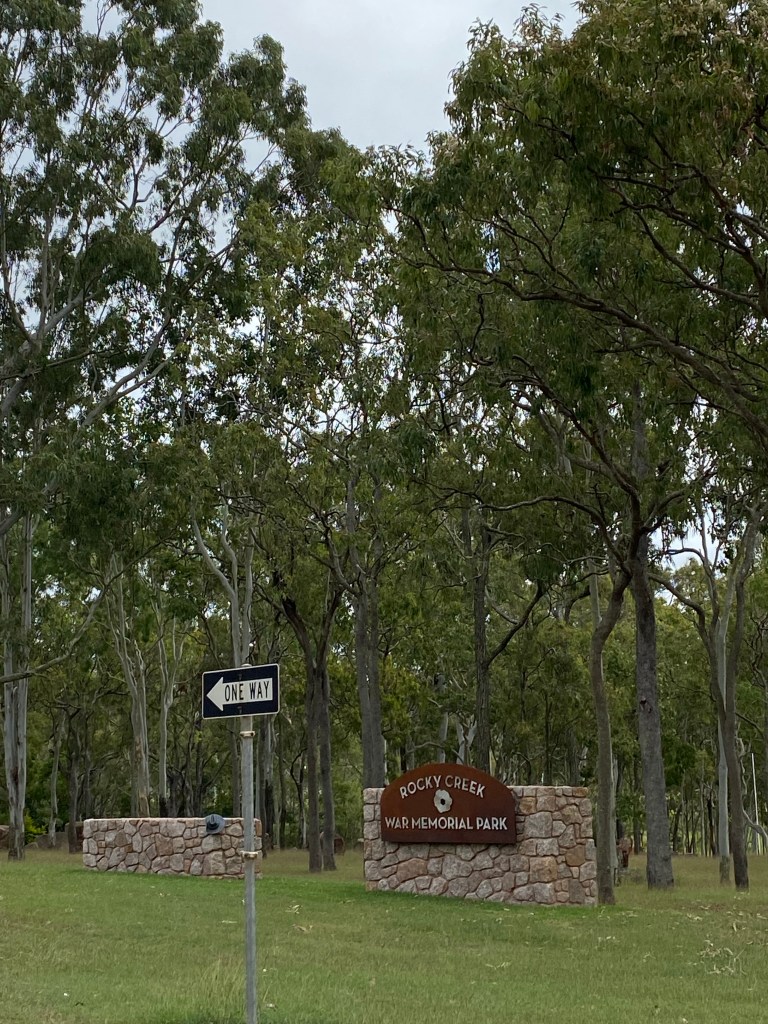
Today we travelled to Tolga, Rocky Creek War Memorial Park. We had a great night sleep and woke at 7am.
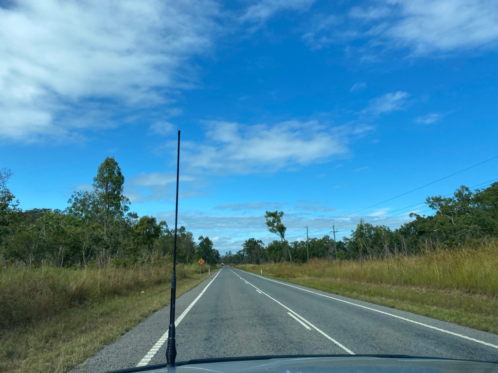
The trip over the Great Diving Range was a little windy, but manageable as it was only around 4km worth.
The scenery changed almost immediately. We saw more Eucalyptus Forest and pasture lands. The fruit and nut orchids were abundant. There was still some sugar cane scattered on the fields. The bird life was considerable on this side as well.
We arrived at Rocky Creek War Memorial Park and set up our van for the night.
After a quick cup of tea, we left to explore some of the Atherton Tablelands.
The tablelands are known for their; coffee and tea plantations, fruit and nut orchids and dairy industry. It is also scattered with multiple creeks and waterfalls that bring a lot of people sight seeings. The volcanic activity and remnants of this are visible in its rock formations and an abundance of crater lakes.
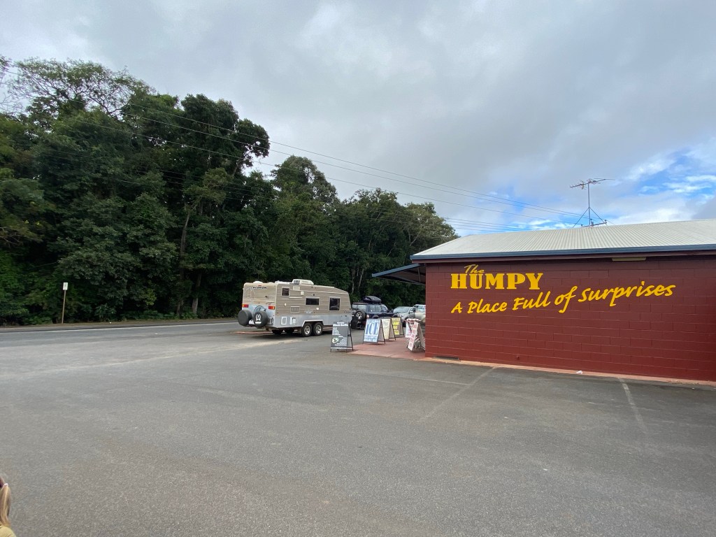
Our first stop with The Humpy; famous for its fruit and nut products. We bought a kilo of unshelled macadamia nuts and 500g unshelled roasted peanuts.
We drove to a little town called Malanda which was south east of tolga.
Here we went to information centre where we looked at the wonderful displays explaining the volcanic structures seen in the local area; including information on rock types and how they formed.
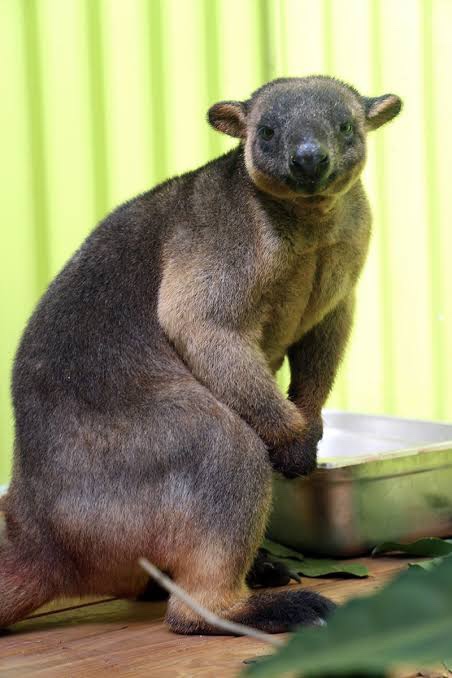
There was a small section dedicated to the 2 Tree Kangaroo species seen only in this part of Australia. The remaining species are found in New Guinea.
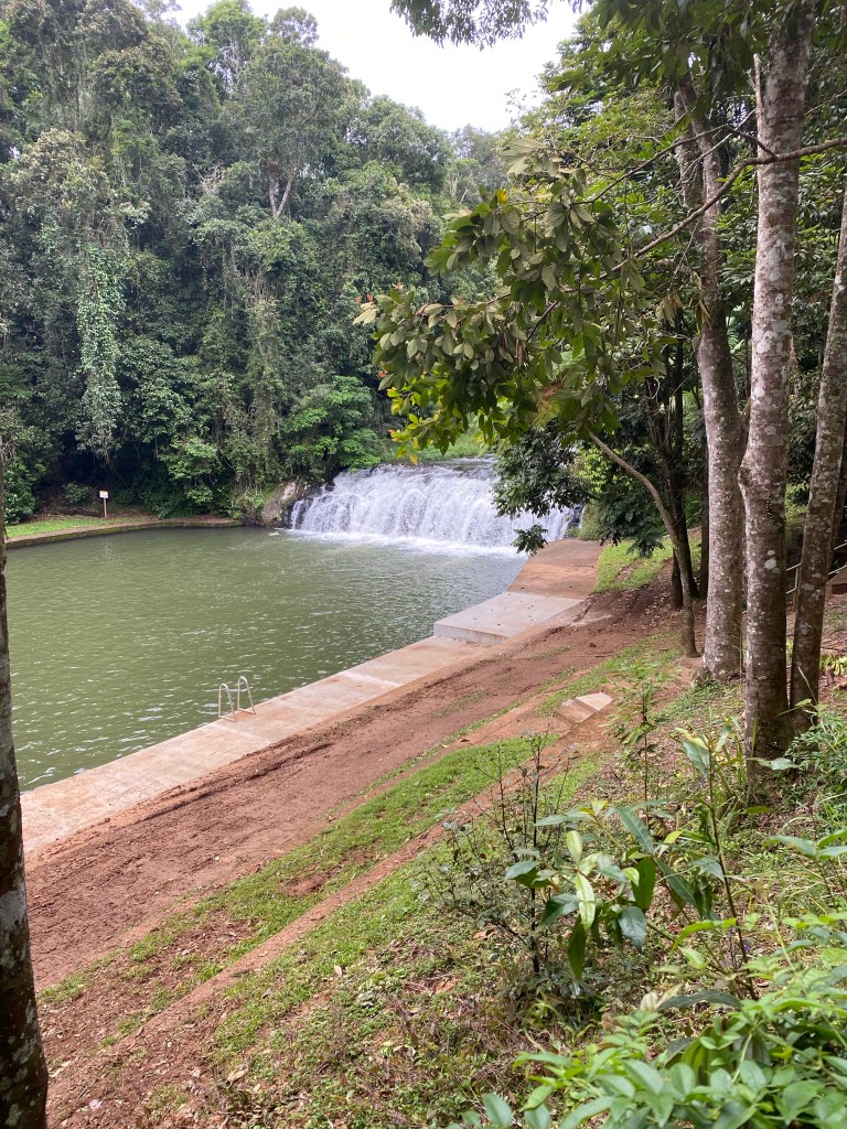
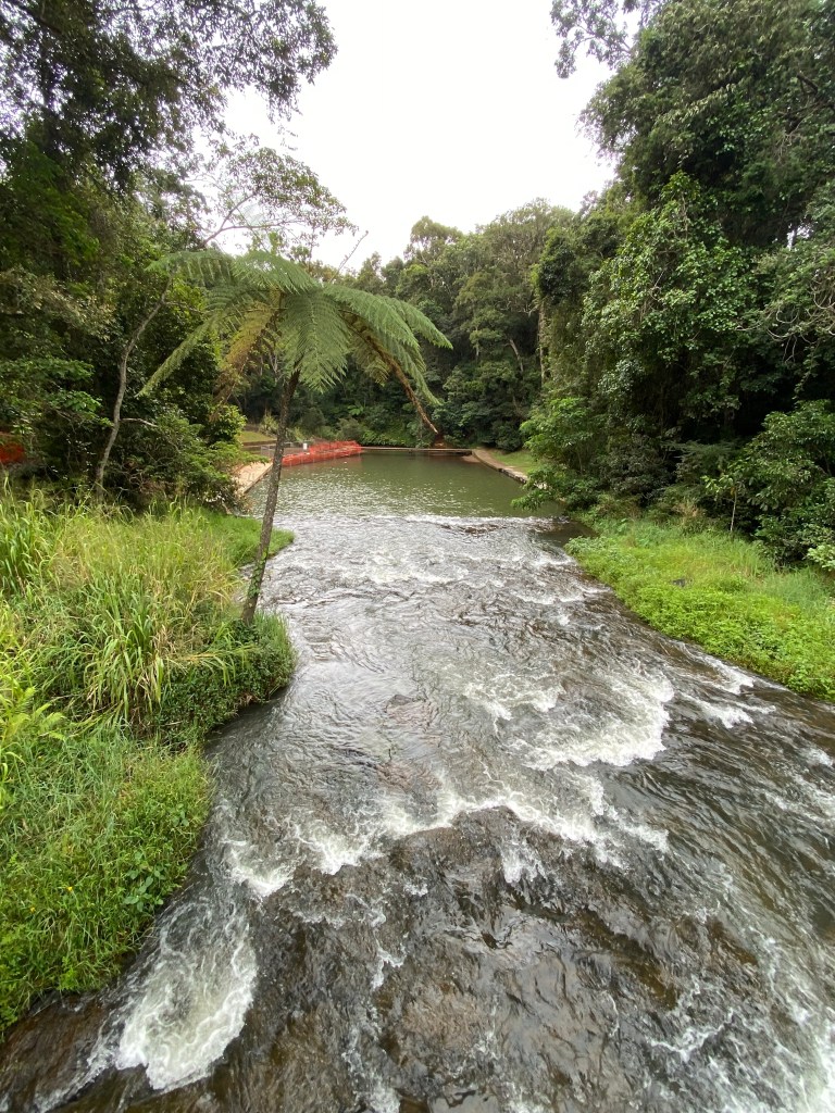
Malanda has a water fall with a man made catchment used for swimming in the warmer months. Today was 17 degrees here in the mountains.
After this stop, we continued south east towards Lake Eacham National Park.
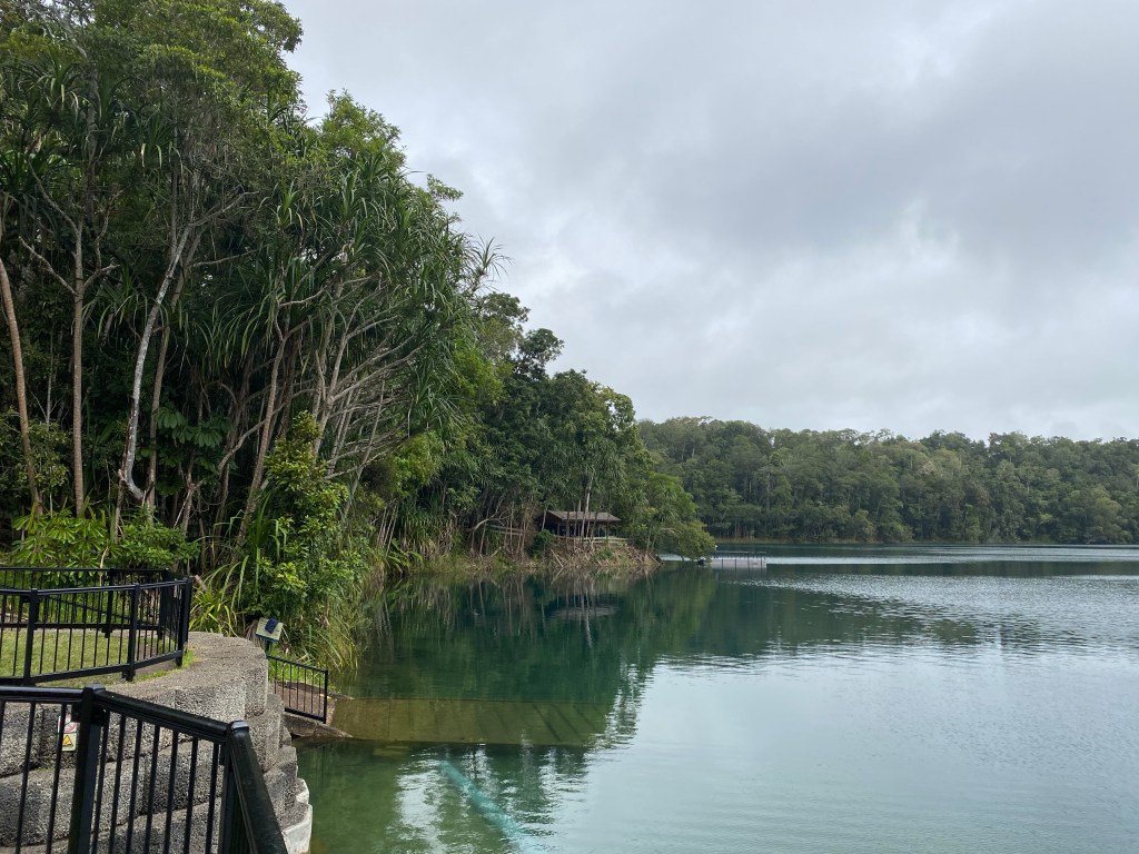
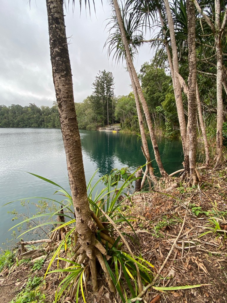
Here we saw a crater lake, it’s beautiful fish species, bird life and fauna.
We returned to the caravan after half a day exploring some of the Tableland beauty.
Tomorrow
We move south west to Millstream, via Historic Herberton.
Tolga
Tolga is located on the Atherton Tableland. It is 89km SW of Cairns.
The northern and eastern parts of Tolga are relatively flat land used for growing crops. The western parts are more mountainous (creating the drainage divide) and are mostly undeveloped.
The Tolga Scrub on the southern side of town (within the locality of Atherton, is one of the last remaining areas of Mabi rainforest on the Atherton Tableland. It is the most drought resistant type of rainforest in Australia. The Tolga Scrub is 2 kilometres long and 100 metres wide.
History
The town was originally called Martin Town after sawmillers George and Robert Martin, and grew out of a Cobb and Co staging post at Rocky Creek.
The town’s name was changed to Tolga in 1903 when Tablelands railway line was extended from Mareeba to Atherton and the local railway station was to be called Tolga, a name thought to be derived from the Aboriginal word for red volcanic soil.
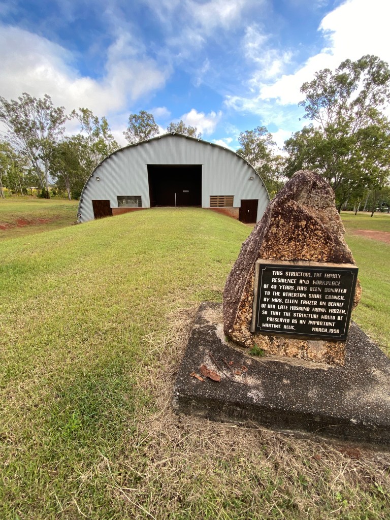
World War II
During World War II in 1943 the Australian Army established their largest storage and repair centre to the west of the town centre, to support the War in the Pacific.
It was known as the 13 Australian Advanced Ordnance Depot and was operated by the Royal Australian Army Ordnance Corps under the command of lieutenant colonel LW Gale with a staff of about 1000 including 200 from the Australian Women’s Army Service.
The complex had about 150 buildings, including 18 large igloo storage shed. The complex stored, repaired and maintained Army vehicles and vehicle parts, weapons and ammunition, and clothing.
Most buildings on the site were removed in 1946 after the war had ended with one building being relocated to the Atherton Hospital for the use of the Queensland Country Women’s Association.
Malanda and Malanda Falls
76 km south-west of Cairns and 732 m above-sea level.
History
Prior to the arrival of Europeans the area was home to the Ngadjon-jii Aboriginal people.
Malanda came into existence in the 1880s when tin was discovered at Herberton. This saw miners moving through the tiny settlement on their way from the coast.
The Malanda Falls were first surveyed in 1906.
In 1908, James English (later the publican of the Malanda Hotel) and James Emerson, moved into the area. English brought cattle from Kiama and the Richmond River areas in New South Wales and Emerson had a herd of 1026 cattle overlanded from Lismore. English helped pioneer the dairy industry in the area.
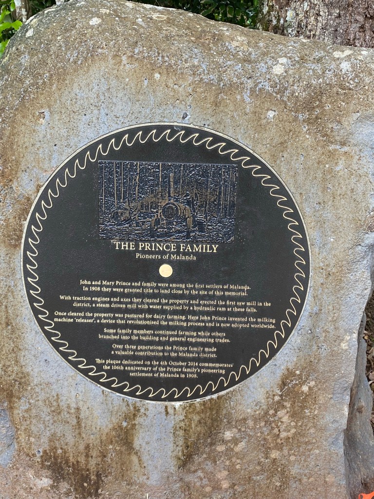
In 1910, in response to a developing local timber industry, John Prince established a sawmill in Malanda. The railway reached the town that year.
The mill cut the boards for the Malanda Hotel which was built in 1911. A railway bridge was built across the falls in 1911.
The Falls
Located on the North Johnstone River at the northern entrance to the town, the Malanda Falls, are small and rather elegant. They fall no more than four metres over a basalt rockface (an ancient volcanic lava flow from a volcano 15 km away) and the town’s swimming pool lies at the bottom.
The falls were surveyed in 1906 and, at the time, they were partly covered in water lilies with the rainforest reaching to the edge of the falls and the pool.
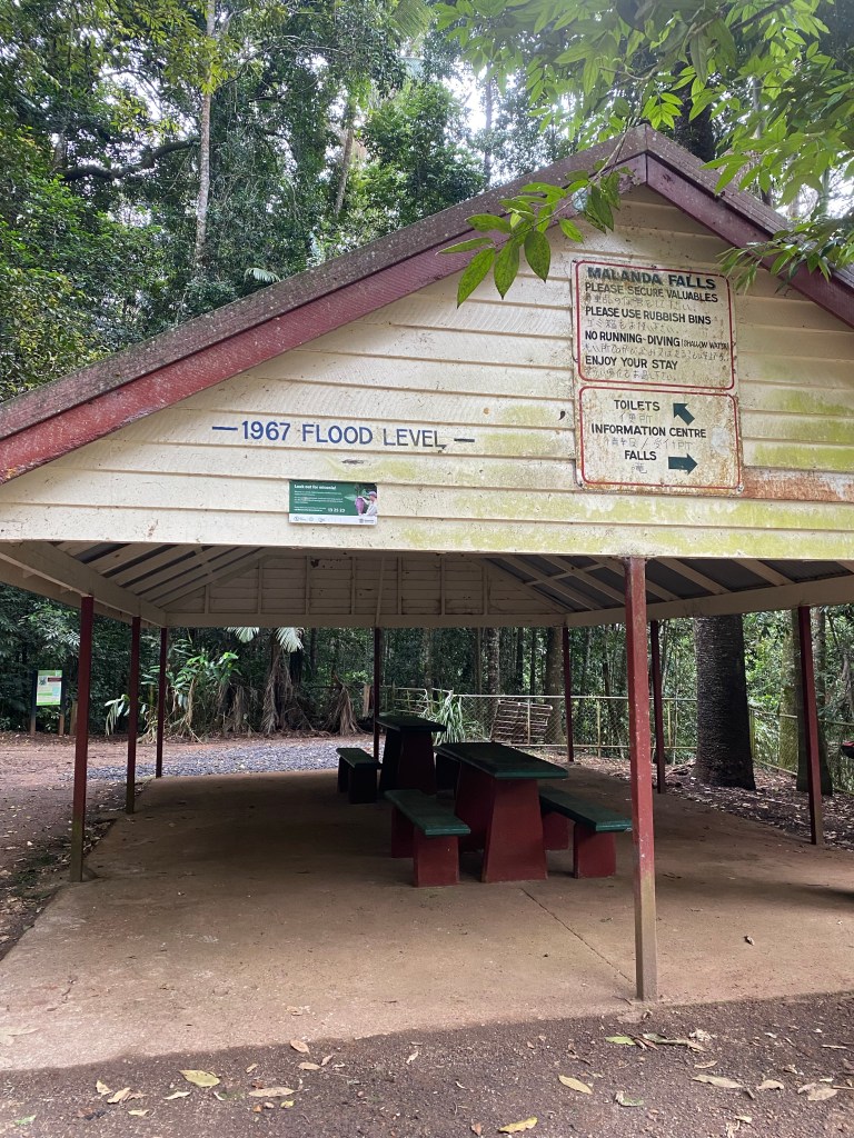
By the 1920s the townsfolk had cleared the pool and it became a popular swimming hole with the surrounding area being used for picnics and social gatherings.
The pools were upgraded during World War II by Australian soldiers who were living in the area.
The Geology of Malanda Falls
The Tablelands are the result of several periods of volcanic activity between 4 and 1 million years ago. Lava flowed out from at least six shield volcanoes on the southern Tablelands, and the basalts that form the Falls are believed to have come from the Malanda volcano 3-4 million years ago.
As the lava spewed out from the volcanoes, it flowed down and filled ancient valleys.
Weathering changed the black basalt to the rich red soils of the Tablelands, and erosion cut gullies into the lava forming deep river valleys. Over time, the North Johnstone River eroded upstream, and the waters now tumble over the basalt rock wall known as the Malanda Falls.
Lumholtz’s tree kangaroo
Dendrolagus lumholtzi is a heavy-bodied tree-kangaroo found in rain forests of the Atherton Tableland Region of Queensland. Its status is classified as near threatened by the IUCN, and authorities consider it as rare.
It is named after the Norwegian explorer Carl Sofus Lumholtz (1851–1922), who was the first European to record a specimen in 1883.
The local indigenous Dyirbal and Yidiny language name may have been either “mabi” or “mapi.”
Lumholtz’s tree-kangaroo are generally solitary animals, with the exception of male-female mating and the long, intimate mother-joey relationship. Each kangaroo maintains a “home range” and will be hostile towards a member of the same sex that enters it.
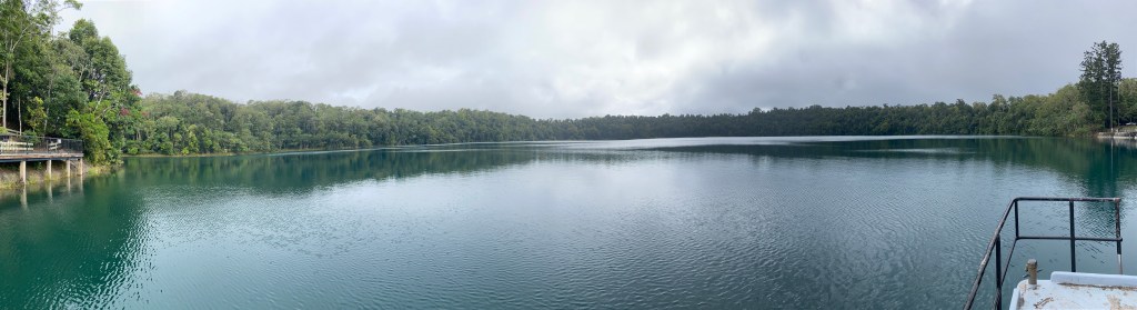
Lake Eacham National Park
The Lake is a Marr or Volcanic crater.
Lake Eacham (Yidyam) is the main feature of the 4.89-square-kilometre Crater Lakes National Park, with a dense rainforest and thousands of small animals.
The lake has an average depth of 38 metres with a maximum depth of 65.5 m and is considered by locals as being ideal for swimming, canoeing, bushwalking, and bird watching.
