Saturday 12th March 2022
Today we set out to explore Uluru with our two girls in tow. We rushed out of the caravan at 730am to make it to the base of Uluru for a 8am guided tour.
The tour guide did an introduction and then that was it. We had to walk and read the signage on our own.
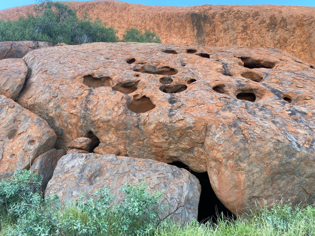
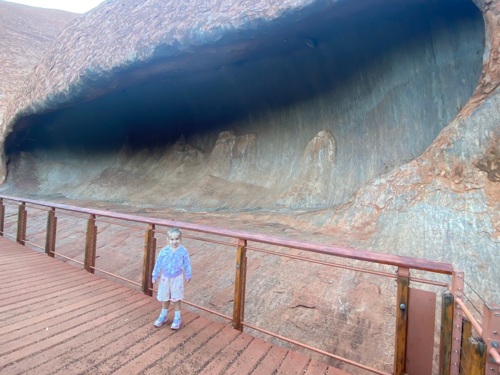
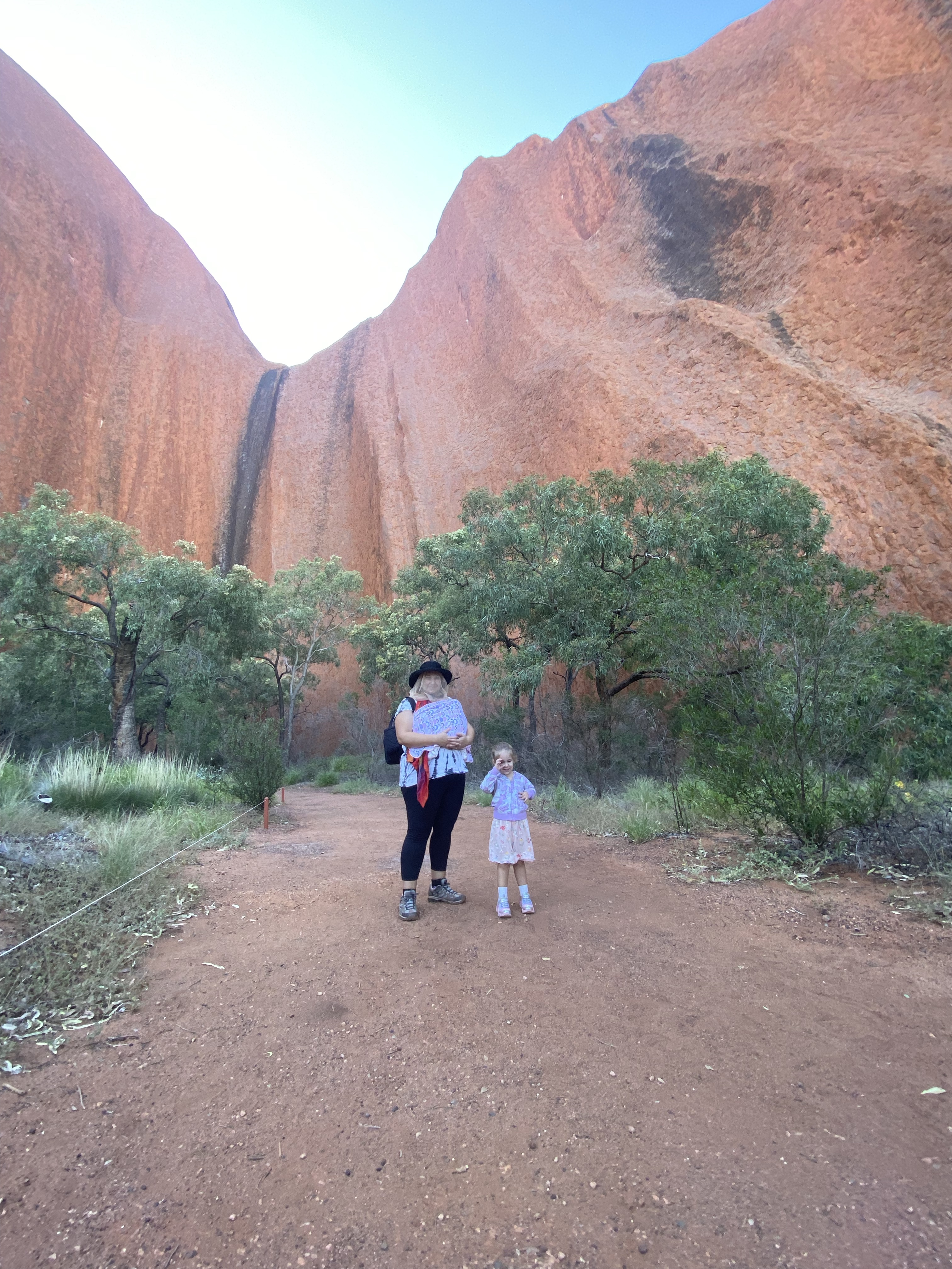
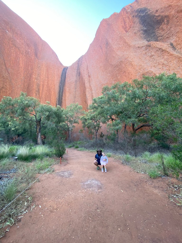
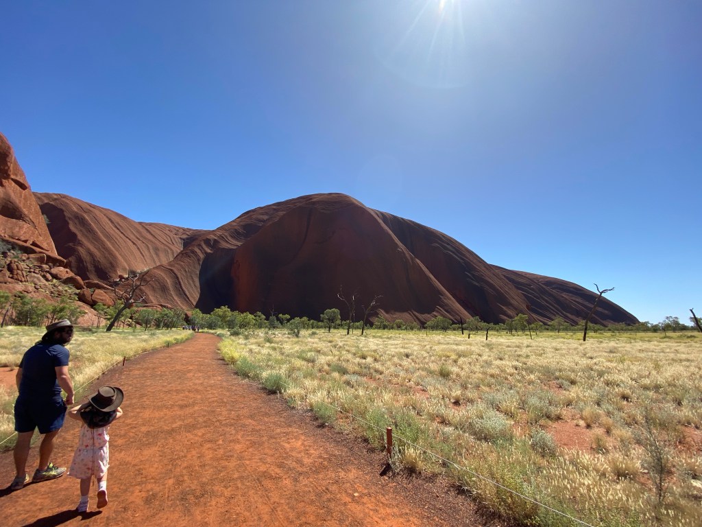
We started our exploring on the western side of the rock and did the Mala Walk.
Mala Walk
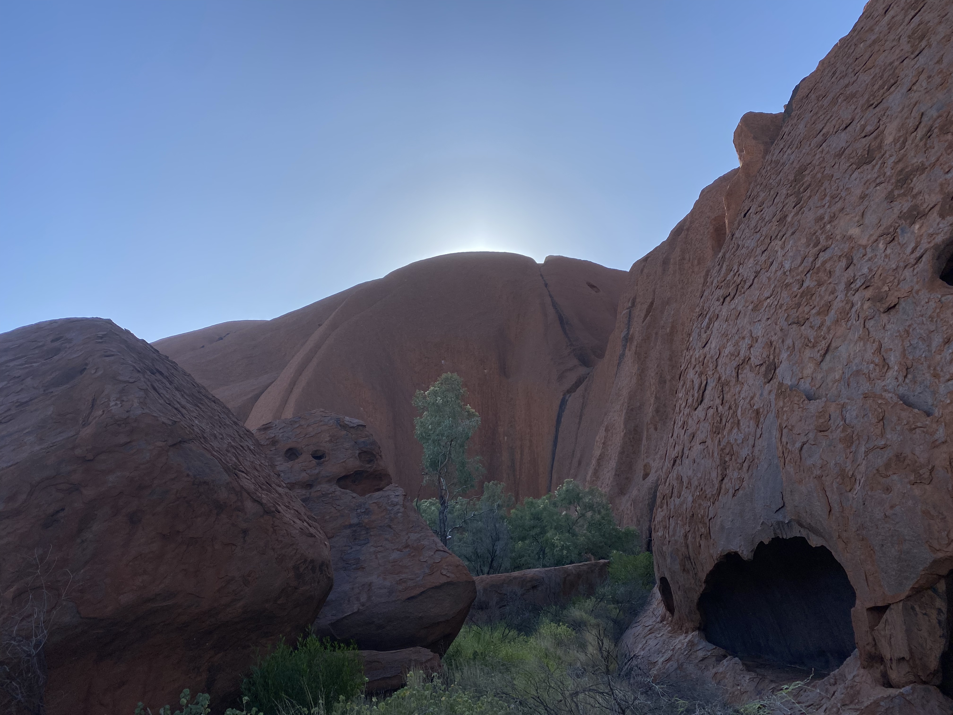
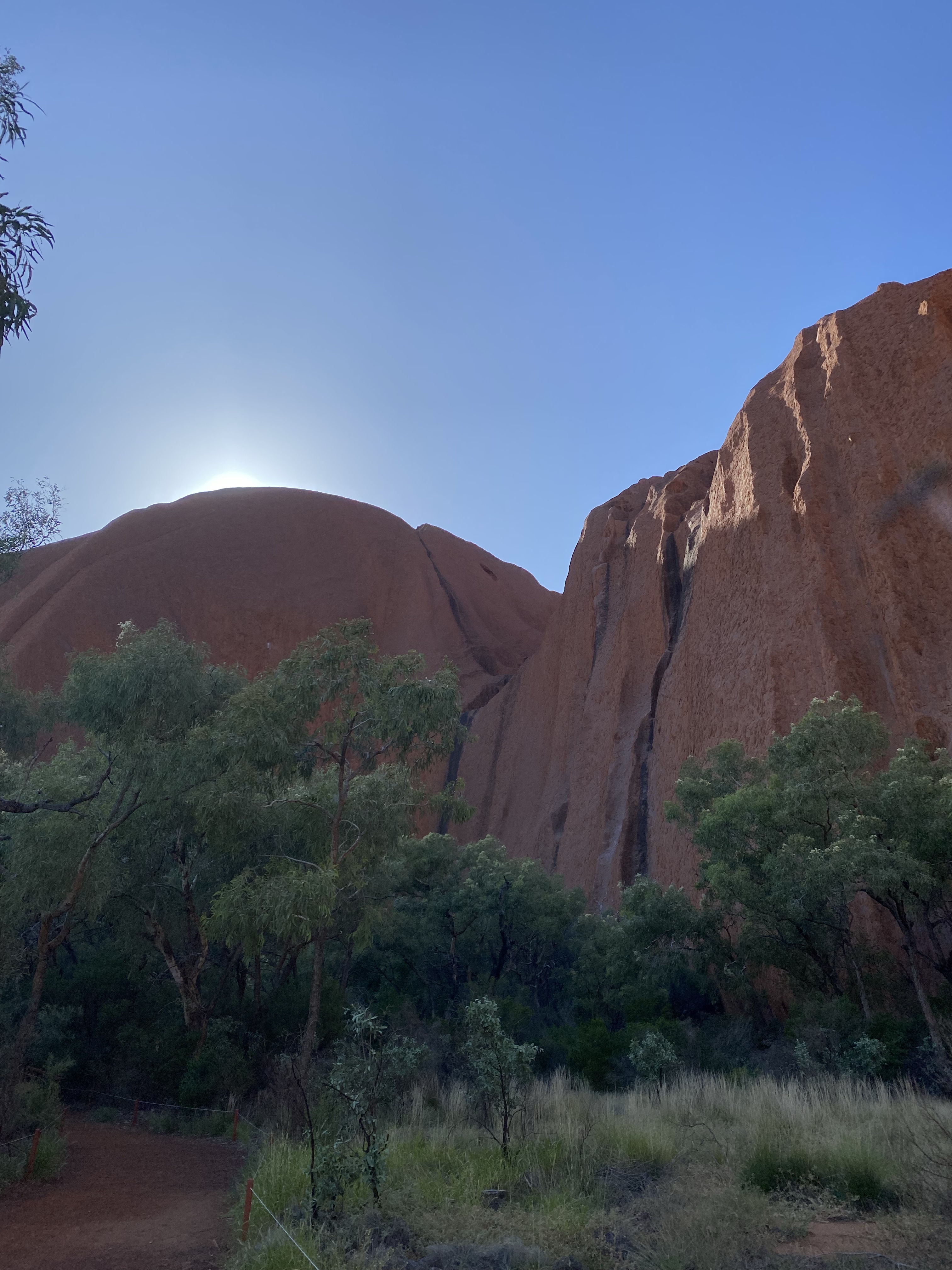
It was blowing a gale when we arrive and the sun was still on the eastern side of the rock.
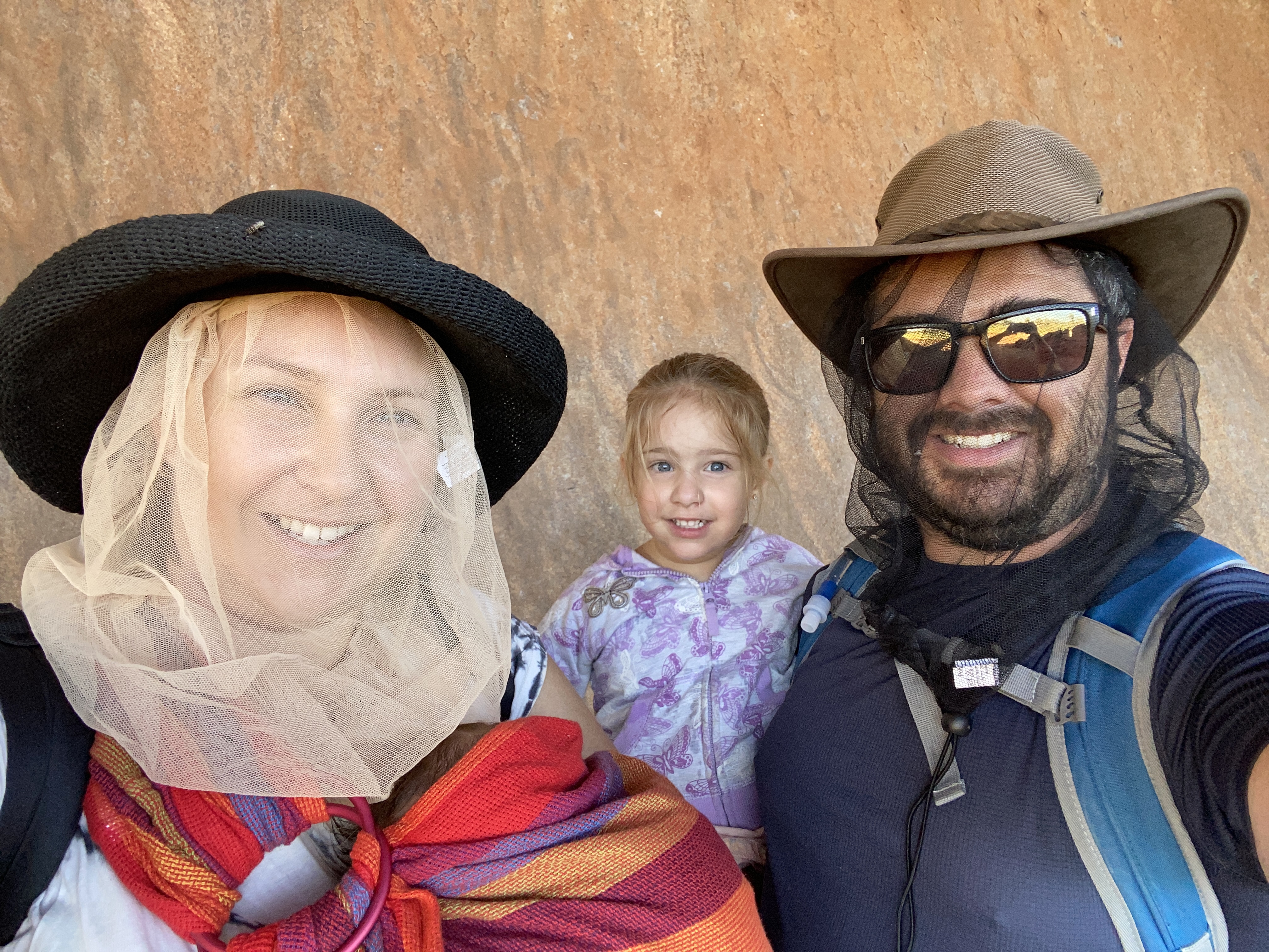
Eva carried Charlotte in a sling while daddy and Madeline walked. the flies were abundant as we expected.
The walk itself was grade 1 and easy. It was 2km return.
The signage taught us about the Aboriginal Dreamtime stories related to each place.
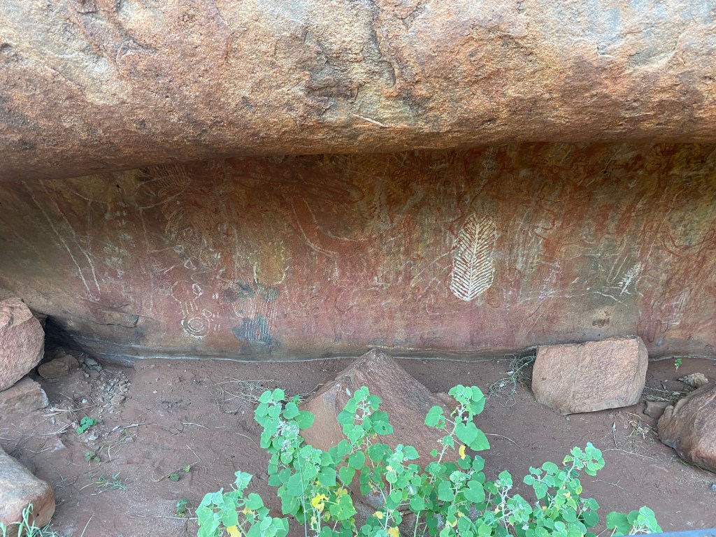
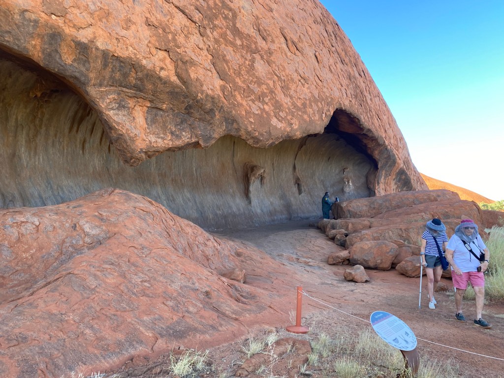
There was a section that was unable to be photographed due to its spiritual nature. it was the woman’s cave where they did ‘women business.’
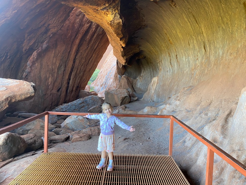
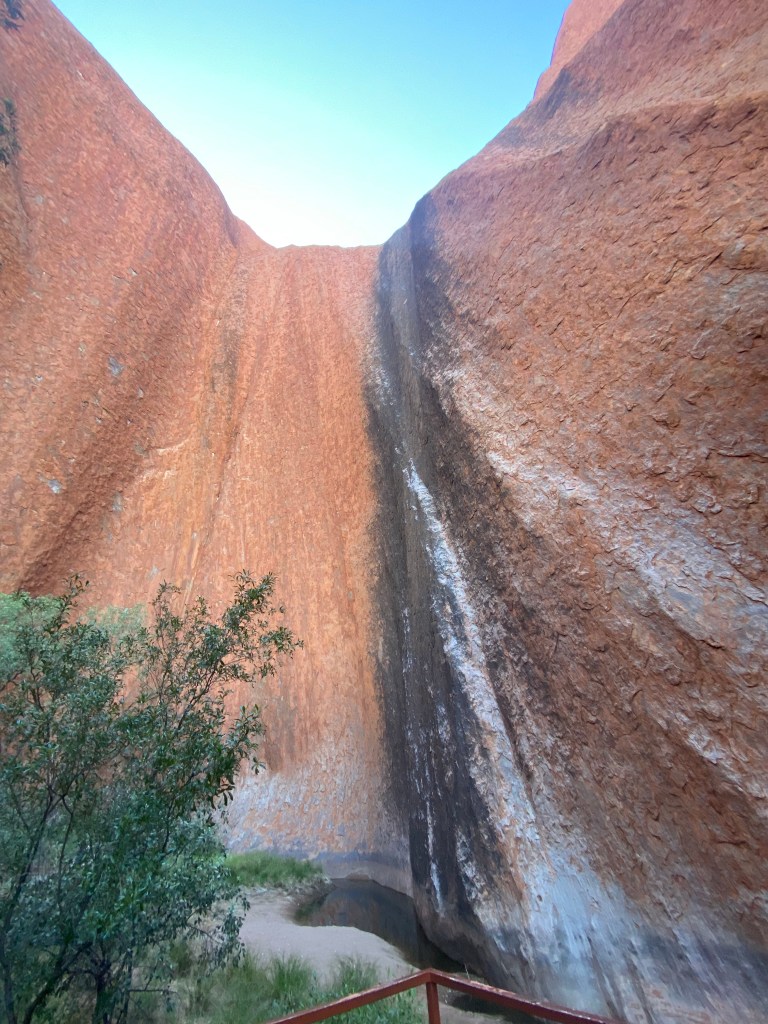
The walk was lovely and the rock looked beautiful without the sun shinning directly on it.
We returned to the car and fed Charlotte before driving to the Cultural centre. There was no filming or photography allowed at the Cultural Centre.
The centre explained the history of Uluru from Indigenous times right through.
Uluru history
In 1872 Ernest Giles, while exploring, sighted Kata Tjuta from Kings Canyon. He names them Mt Olga but can’t cross Lake Amadeus to reach it.
In 1873 William Christie Gosse became the first European to reach Uluru. He named it Ayres rock after SA chief secretary, Sir Henry Ayres.
1931 Harold Lasseter came in search of a fortune, specifically a gold reef. He never found it before his death.
1957 the first offical tour group comes to Uluru.
1958 Uluru and The Olga’s are declared a tourist and wildlife reserve.
1970’s tourist accommodation and facilities relocated to Yulara out of the National Park.
Geology
The sandstone formation stands 348 m high, rising 863 m above sea level with most of its bulk lying underground, and has a total perimeter of 9.4 km.
Uluru is also very notable for appearing to change colour at different times of the day and year, most notably, when it glows red at dawn and sunset.
Uluru is an inselberg, meaning “island mountain”. An inselberg is a prominent isolated residual knob or hill that rises abruptly from and is surrounded by extensive and relatively flat erosion lowlands in a hot, dry region.
The remarkable feature of Uluru is its homogeneity and lack of jointing and parting at bedding surfaces, leading to the lack of development of scree slopes and soil. These characteristics led to its survival, while the surrounding rocks were eroded.
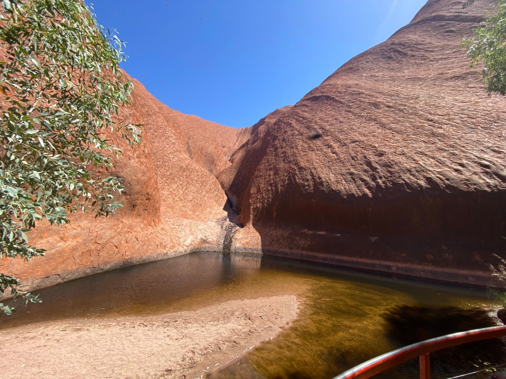
After leaving the Cultural Centre, we made our way over to the eastern side. Here we did the short Kuniya Walk to the Mutitjulu Waterhole.
After the walk we made our way back to the caravan for lunch. We also did a load of washing.
After lunch we went grocery shopping for next week. When returned home in time to cook dinner.
Tomorrow
We visit The Olga’s and the Karu look out.
