Thursday 20th May 2021
We had another crappy night sleep awoken by a rooster at 4am.
We left Babinda at around 9am and made our way North to Cairns.
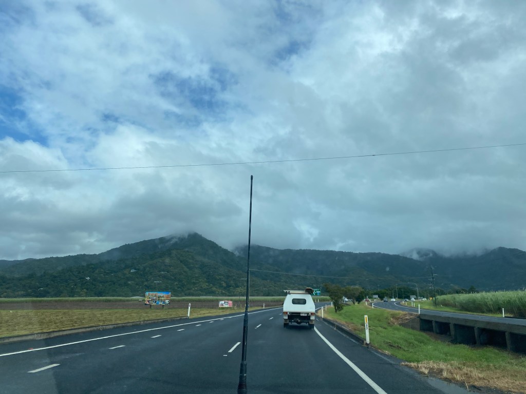
We travelled on wet roads and through rain clouds, arriving at partly cloudy Cairns.
We drove to our accommodation at Yorkeys Knob and parked our van.
We went to the local Coles to do some shopping and returned to the van after lunchtime.
We unpacked the groceries and then left for Cairns airport.
We waited at the baggage claim and through the doors came Babcia and Dziadzio Blimka. With so much excitement Madeline ran to them for a big cuddle and kiss.
We drove to their accommodation in Yorkeys Knob and spent the afternoon catching up, opening some gifts and enjoying each other’s company.
Madeline was given some new PJs, two new one piece suits, a pegboard, a make and create kit, a musical card, Sylvannia play set and Frisbee.
Madeline found it hard to leave for the night, but we left around bedtime back for the caravan.
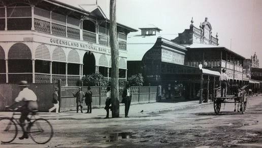
Cairns
Cairns is located on the east coast of Cape York Peninsula on a coastal strip between the Coral Sea and the Great Dividing Range. The northern part of the city is located on Trinity Bay and the city centre is located on Trinity Inlet.
To the south of the Trinity Inlet lies the Aboriginal community of Yarrabah.
Some of the city’s suburbs are located on flood plains.
The Mulgrave River and Barron River flow within the greater Cairns area but not through the Cairns CBD.
The city’s centre foreshore is located on a mud flat.
Brief history
Prior to British settlement, the Cairns area was inhabited by the Gimuy Walubara Yidinji people, who still claim their Native Title rights.
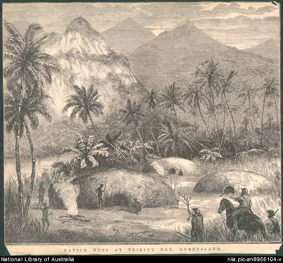
Captain Cook was the first European to see the site of modern-day Cairns. In June 1770 he sailed into an inlet which, because it was Trinity Sunday, he named Trinity Bay.
From 1770 to the early 1870s the area was known to the British simply as Trinity Bay.
The arrival of beche de mer (sea cucumber) fishermen from the late 1860s saw the first European presence in the area. On the site of the modern-day Cairns foreshore, there was a large native well which was used by these fishermen.
A violent confrontation occurred in 1872 between local Yidinji people and Phillip Garland, a beche de mer fisherman, over the use of this well. The area from this date was subsequently called Battle Camp.
The discovery of gold at Palmer River and Hodgkinson field meant that port facilities were created at Cairns.
In 1876, hastened by the need to export gold mined from the Hodgkinson goldfields on the tablelands to the west, closer investigation by several official expeditions established its potential for development into a port.
Brinsley G. Sheridan surveyed the area and selected a place further up Trinity Inlet known to the diggers as Smith’s Landing for a settlement which he renamed Thornton.
A small township was established on the present site of Cairns in late 1876 but it was short-lived because the land was swampy. Smithfield became the more important of the centres and within a year it had eleven stores and hotels. It quickly gained a reputation as ‘the wickedest town in Australia’ and legend has it that Bill Smith, who became a publican in the town, made so much money from the gold miners that he had his horse shod with shoes of gold.
However, after Native Police officers opened a new track from the goldfields to Battle Camp, this more coastal site became preferable.
Battle Camp was renamed Cairns in late 1876 in honour of the then Governor of Queensland, William Cairns.
By 1882 Cairns was suffering from a serious economic depression. That year saw the planting of sugar plantations in the Mulgrave and Russell River. A sugar mill was opened at Hambledon in 1882.
The success of local agriculture helped establish Cairns as a port, and the creation of a harbour board in 1906 supported its robust economic future.
In 1935 the Barron River hydro electricity scheme started
Cairns became an important air and naval base from 1942-1945.
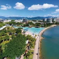
Today, Cairns is a modern and vibrant city and the gateway to the Great Barrier Reef, Port Douglas and the Daintree Rainforest. Cairns is an ideal base to explore the wonderful attractions Tropical North Queensland has to offer.
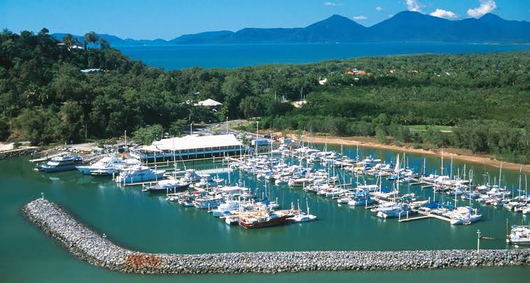
Yorkeys Knob
Yorkeys Knob is a coastal suburb of Cairns. It is approximately 13 kilometres north of the centre of Cairns, and is the third beach suburb after Machans Beach and Holloways Beach.
Yorkeys Knob is made up of predominantly low-lying land (less than 10 metres above sea level) with the exception of the hill (known as Yorkeys Knob) rising to 60 metres on the coast at Yorkeys Point.
Yorkeys Knob got its name from George Lawson, a Yorkshire-born, Cairns-based beche-de-mer fisherman. From the nickname Yorkey, and the Hill being the “Knob”.
On 10 June 1886 Yorkey Lawson reported the loss of a man and his wife from Green Island. They had left to visit the wreck of the Upolu, intending to return the same day. Lawson made a search for them, but was unable to find any trace of them, not even an accident. The pilot cutter was sent to search for the couple.
Lawson built a homestead adjoining the Mount Buchan estate near what is now Yorkeys Knob. During the off-fishing season he and his sons farmed pumpkins, sweet potatoes and paddy melons, but not successfully. Whatever the bandicoots and pigs didn’t eat, the crocodiles did. Lawson used the mangroves near his homestead for the firewood and water needed for his beche-de-mer smoking station on Green Island.
Tomorrow
We are visiting the town of Kuranda. We are taking the Scenic Railway up the mountain and the Skyrail down the mountain.
