Sunday 13th March 2022
Today we were going to the Olgas or the indigenous name Kata Tjuta.
We got up early and left at 8am. It was a 55km trip to the Olgas parking area. We were going to stop early to take photos from a viewing platform.
The viewing platform let us take in the whole of the Olgas.
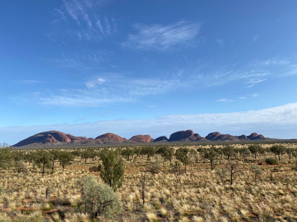
We walked up the 500m incline to the viewing platform. It was a lovely view.
The Olgas
The 36 domed rock formations or bornhardts make up Kata Tjuṯa and cover an area of 21.68 km2. They are composed of conglomerate, a sedimentary rock consisting of cobbles and boulders of varying rock types including granite and basalt, cemented by a matrix of coarse sandstone.
The highest dome, Mount Olga, is 1,066 m (3,497 ft) above sea level, or approximately 546 m (1,791 ft) above the surrounding plain (198 m (650 ft) higher than Uluṟu).
Named in 1872 by the explorer Ernest Giles’ benefactor Baron Ferdinand von Mueller who wished to honour the reigning Queen and Queen of a German province.
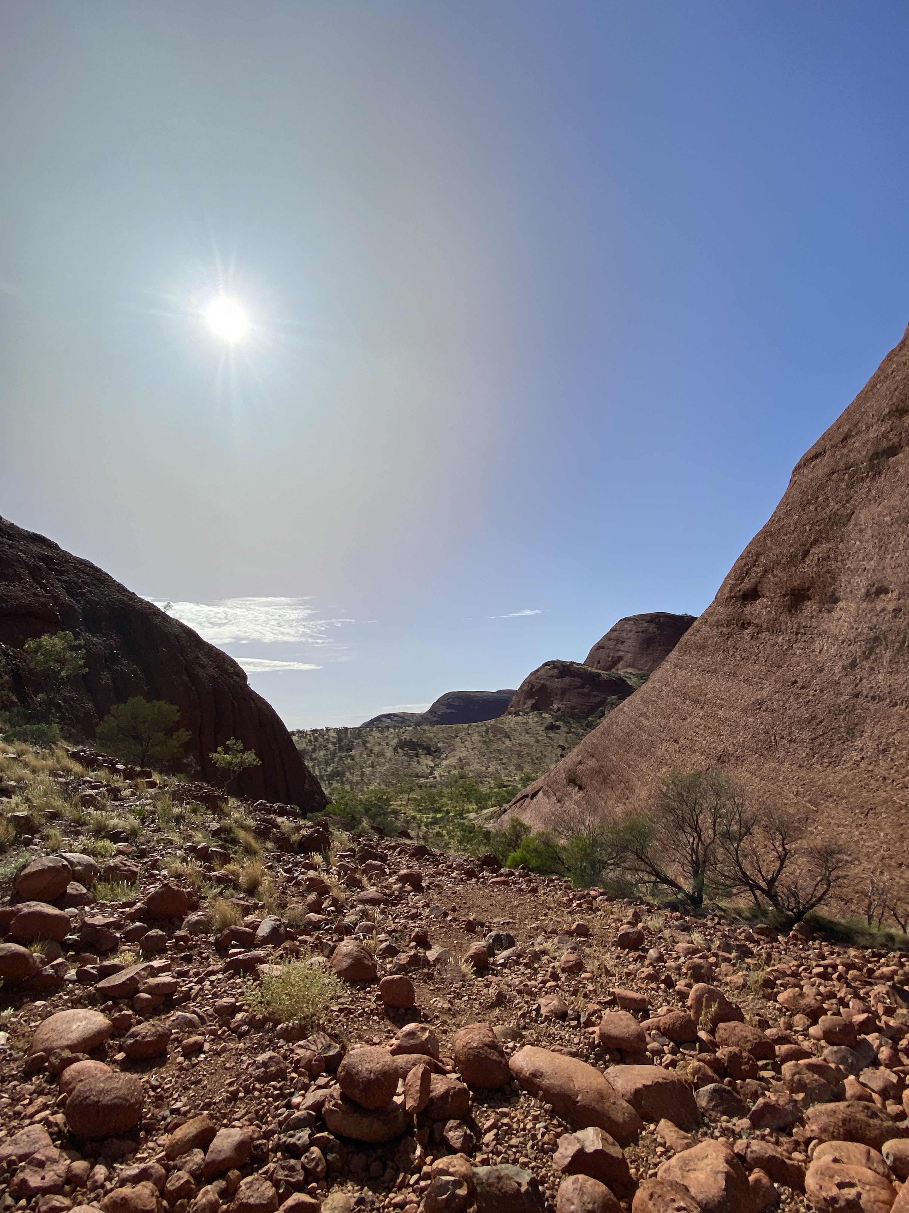
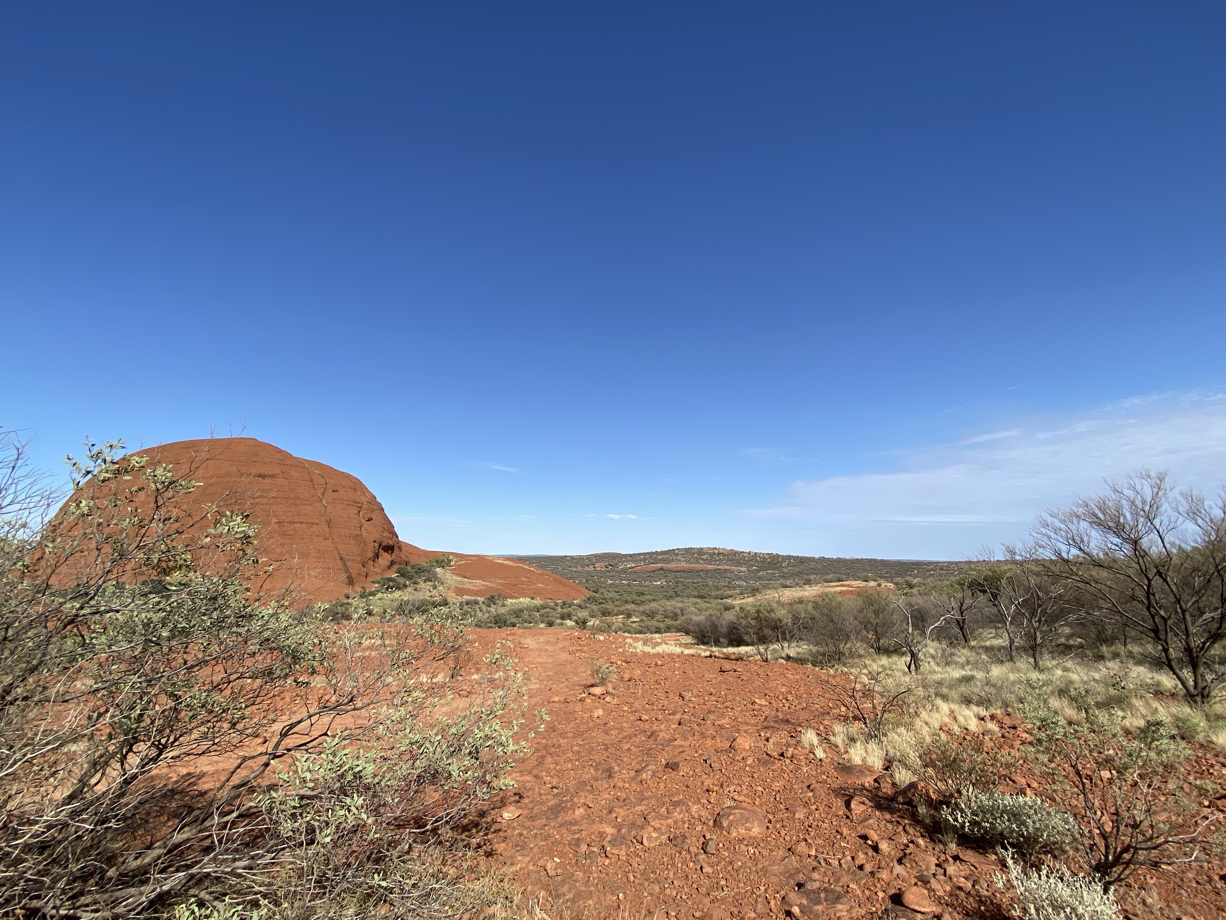
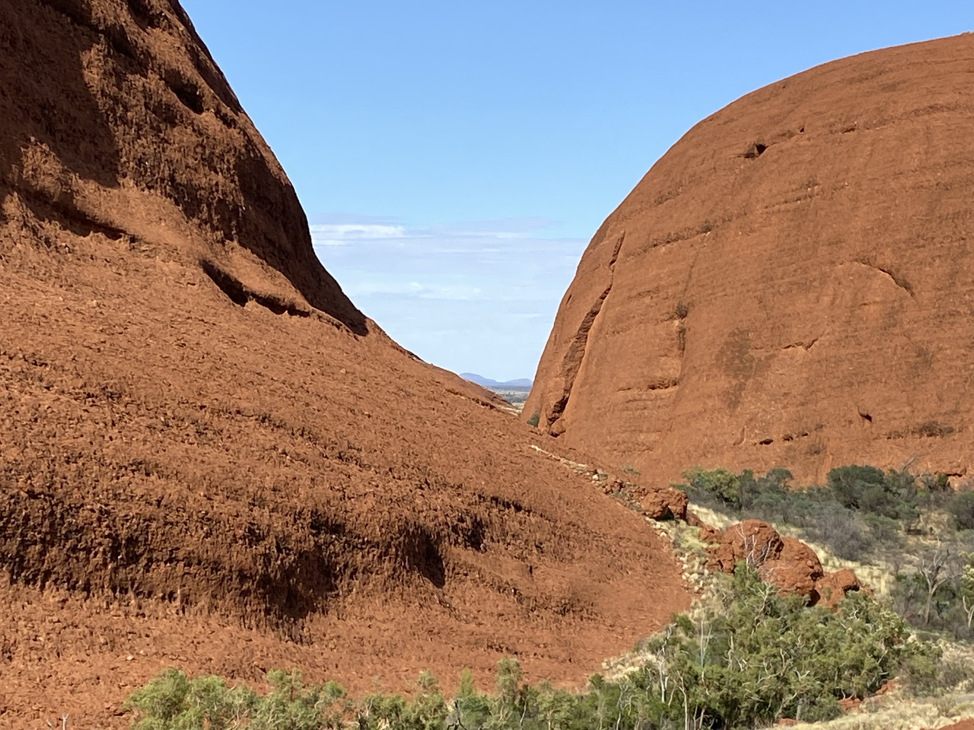
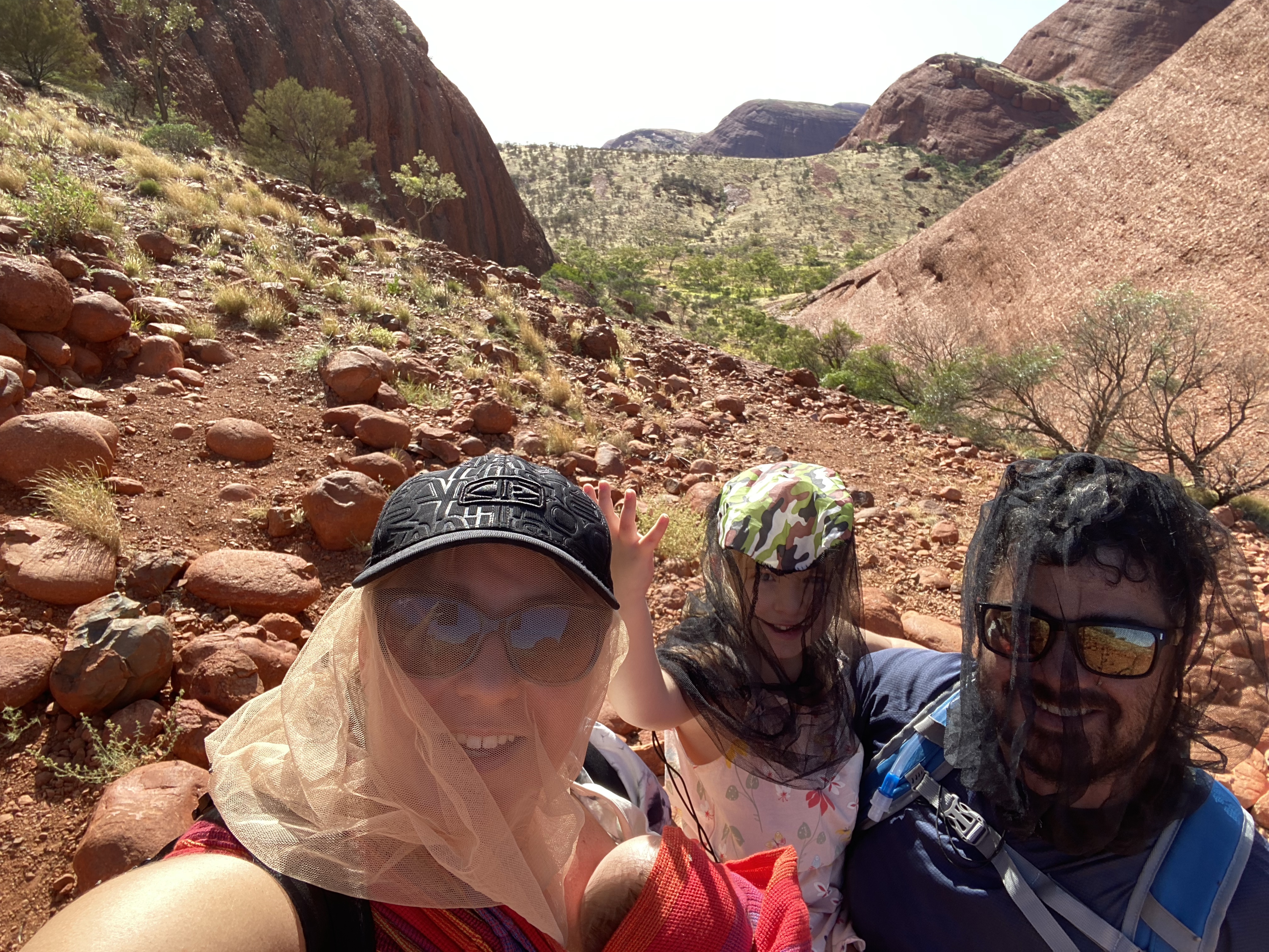
The Valley of the Winds
This is a walk that takes you through the Olgas to two lookouts.
It is usually a 3 hour walk to do the whole circuit. We walked to the first lookout, Karu.
It was a rocky and steep 1.1 km there. The views were breath taking.
We returned to the caravan for lunch and a short rest.
We started tidying up in preparation for leaving tomorrow. The girls played together for a little while.

Jason bought petrol, filling up 3/4 of a 80L tank cost us $160. These fuel prices were never factored into our budget. We calculated a remote loading but this was very unforeseen.
Tomorrow
We travel to Kings Canyon Resort for 2 night.
