
Tuesday 18th May 2021
This morning we woke up at Mena Creek. It was a lovely and quiet night sleep. Comfortable 24 degrees in the van. It started raining around 3am and was sprinkling on and off.
We got ourselves together slowly and left just after 9am. We travelled north and passed through Innisfail.
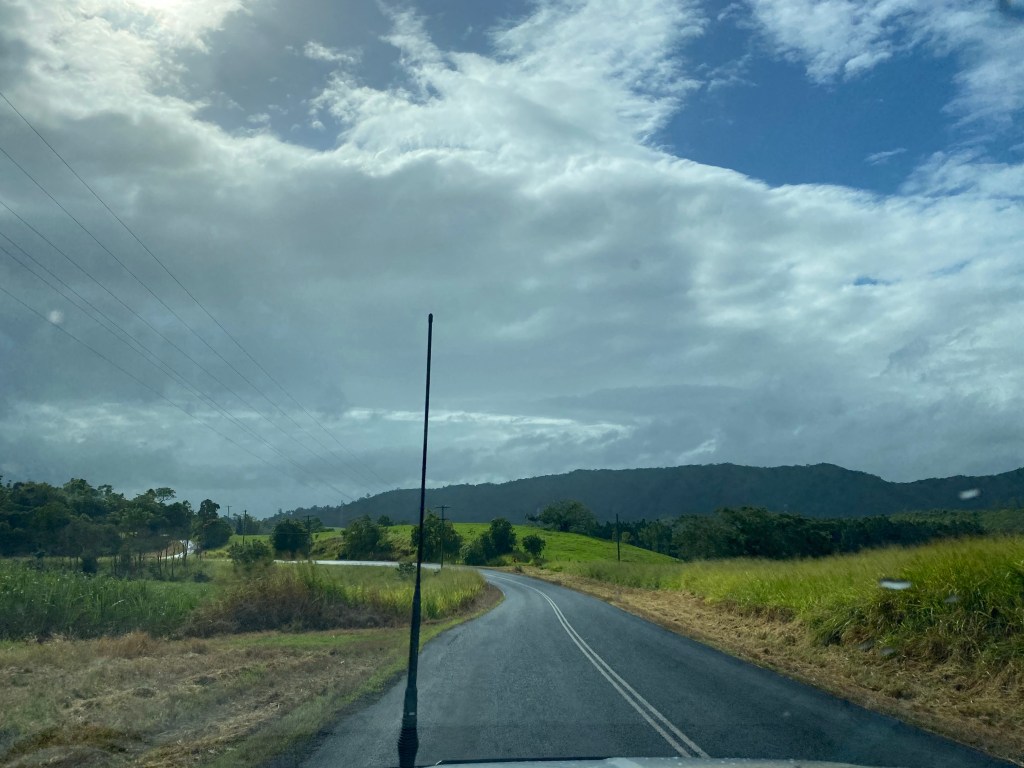
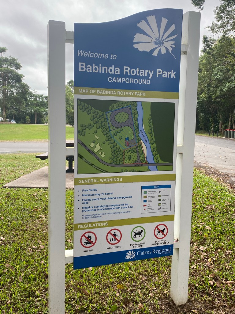
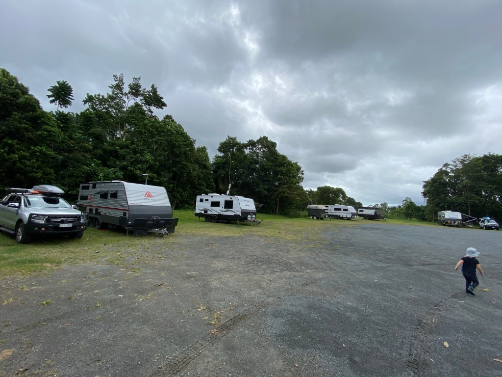
We arrived in the lovely town of Babinda just after 10 today. We pulled into the Rotary Park Campground and picked a spot for our van.
After parking we made our way over to the Information Centre. We gathered a few local brochures. We then walked down Main Street to have a look around.
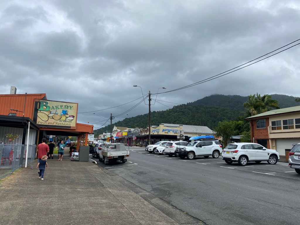
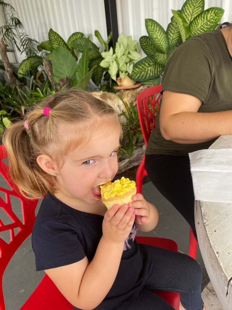
We stopped in for lunch at the Babinda bakery. Their pies were absolutely awesome.
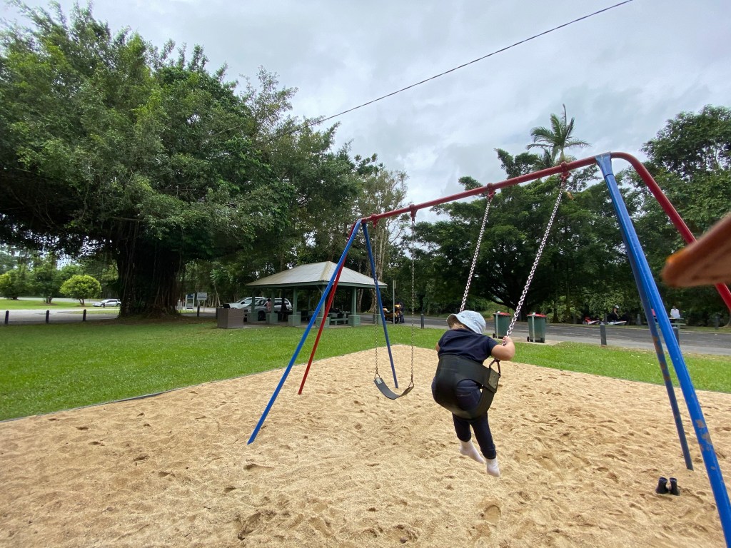
We went back to the van and went to the swings in the rotary park.
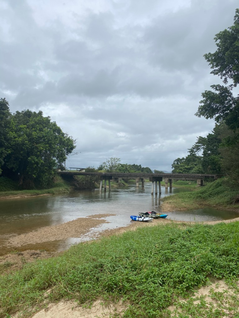
There is the lovely Russell River running just adjacent to the campground.
After the short rain there were puddles lying around and Madeline went jumping in them.
We spent most of the afternoon playing outside around the campsite.
Babinda History
Babinda is a small sugar town located directly on the Bruce Highway approximately 60km south of Cairns.
It’s located at the base of Queensland’s two highest mountains; Mt Bartle Frere (1622m) and Mt Bellenden Kerr (1593m), which form Wooroonooran National Park.
Babinda is known as ‘Australia’s Wettest town’ with an average annual rainfall of around 4,500 mm.
Babinda comes from the Wanyurr Yidinji words, ‘bunna binda’ meaning ‘water passing over your shoulder’, a description of water rolling over the boulders in the Babinda Creek.
In 1873 George Elphinstone Dalrymple led the North-East Coast Exploring Expedition and named the mountain known to local Aborigines as Chooreechillum, Mount Bartle Frere after Sir Edward Bartle Frere, the president of the Royal Geographical Society in London.
In 1886 Christie Palmerston explored the area and by the 1890s the area was known for its sugar and coffee plantations.
In July 1911 the Cairns-Mulgrave railway line was extended through Gordonvale to Babinda. The all timber railway station is the oldest building surviving in Babinda.
In 1917 the only Queensland Government build hotel was built. The Ryan Labour Government opened the only state hotel, to control the sale of alcohol in the area. It was sold in 1929 when Labour lost the election. It is now heritage listed.
Freehold titles in the town began as late as 1929. Prior to that most of the town was owned by the government.
A air raid shelter was built here in 1942 and is one of 56 constructed Mackay and Cairns. It is now used as a public toilet with 300mm thick reinforced walls.
In 2006 Cyclone Larry destroyed much of the town and the surrounding district. In 2011 the town was hit by Cyclone Yasi.
By 2013 the sugar mill had closed and was demolished.
Tomorrow
We head up to Babinda Boulders and in the after to Josephine Falls.
