Saturday 1st May 2021
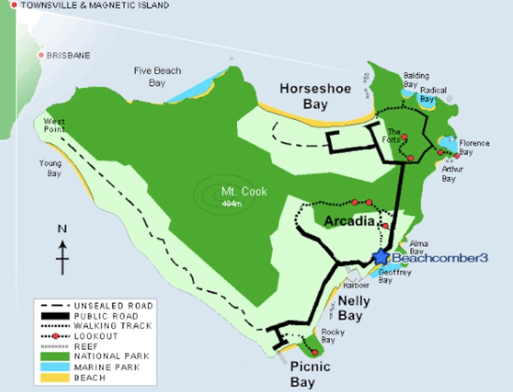
Magnetic Island, known to its Indigenous inhabitants as Yunbenun, is an island 8 kilometres offshore from the city of Townsville, Queensland. It is 52 km2 and is a mountainous island in Cleveland Bay.
We woke up bright and early ready to leave for Townsville City at 645am. We’ve booked tickets for the ferry and have hired a small car to get us around the island.
We arrived at the ferry terminal at 720am, parked and picked up our passes.
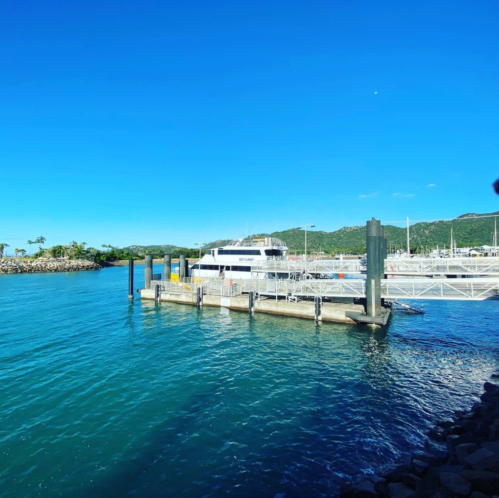
We boarded the ferry at 730am. The ferry ride was a quick 20min. It was however quite rough with a good going swell.
We arrived at Nelly Bay SeaLink Terminal.
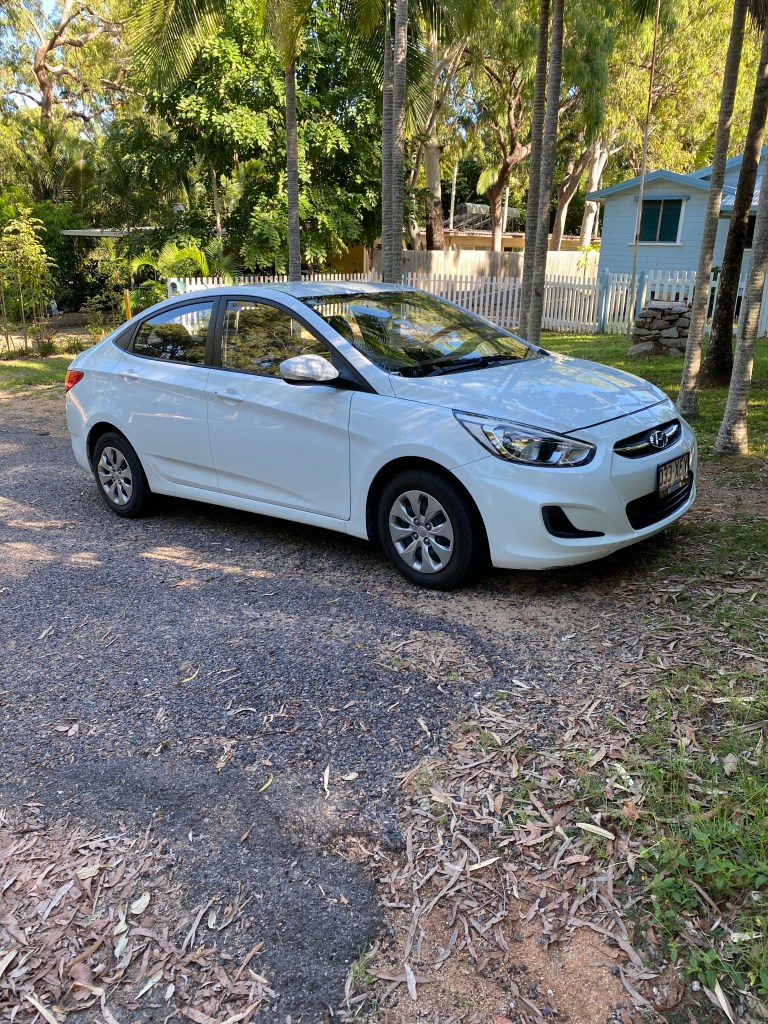
We disembarked and walked over to The Best of Magnetic where we had hired our car. We got a little Hyundai i30 with baby seat.
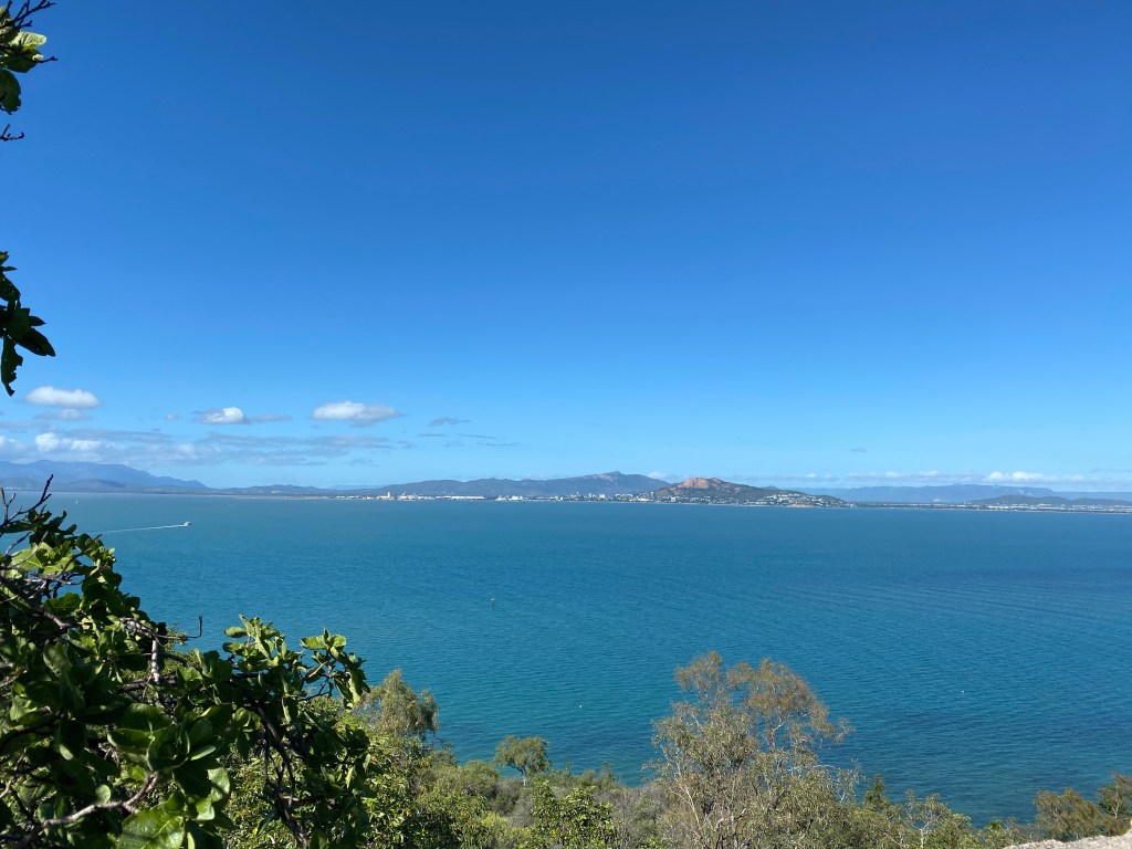
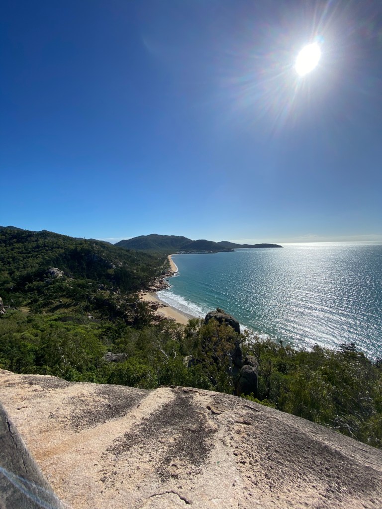
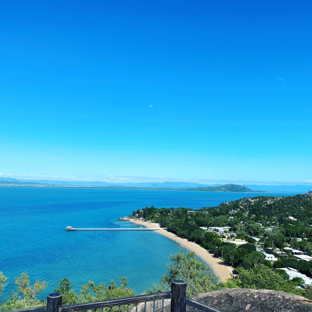
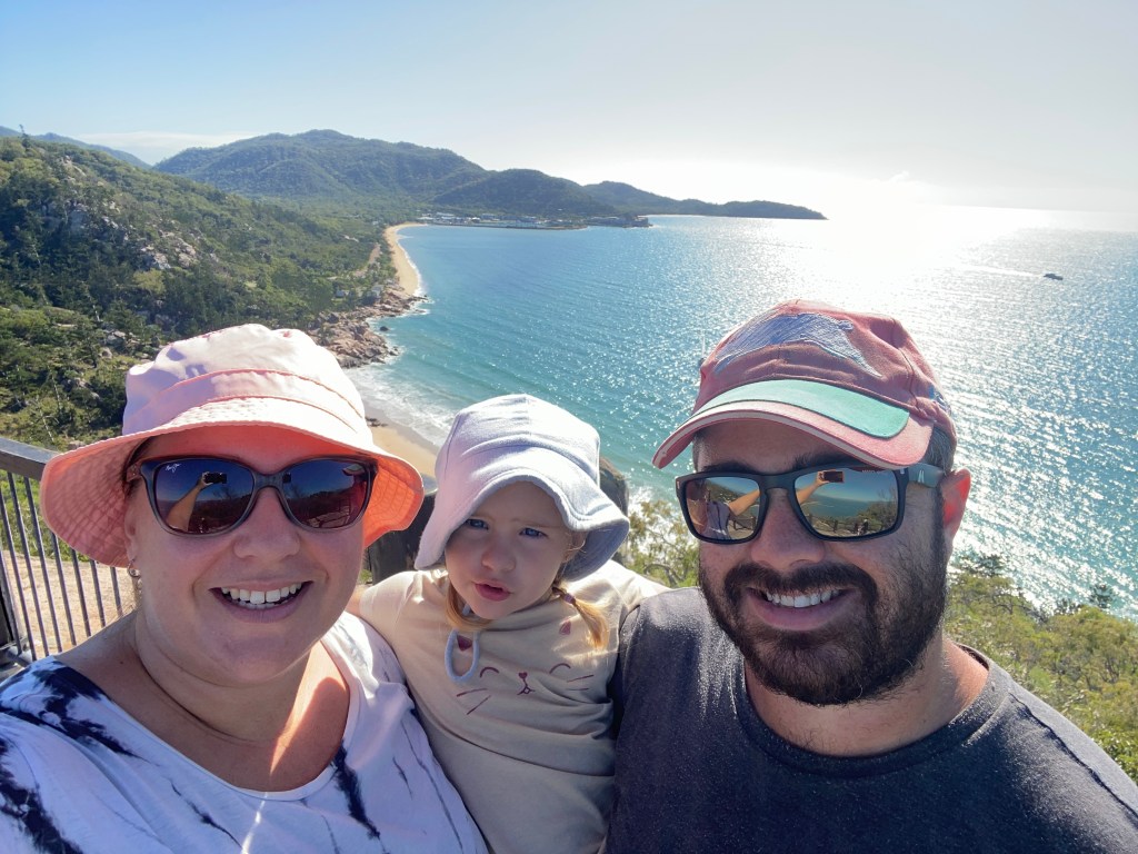
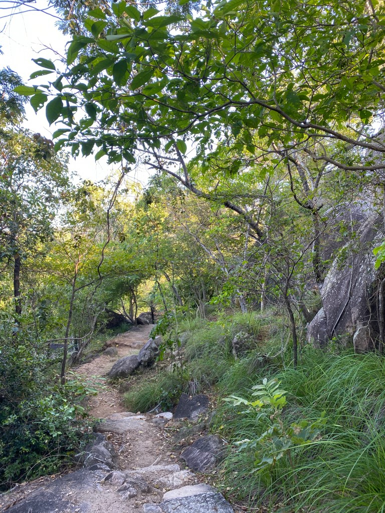
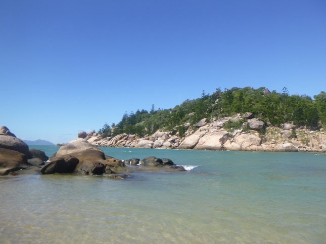
We made our way over to Picnic Bay on the South most tip of the Island. We parked our car and got out to do a 600m walk, up the mountain to Hawkings Lookout.
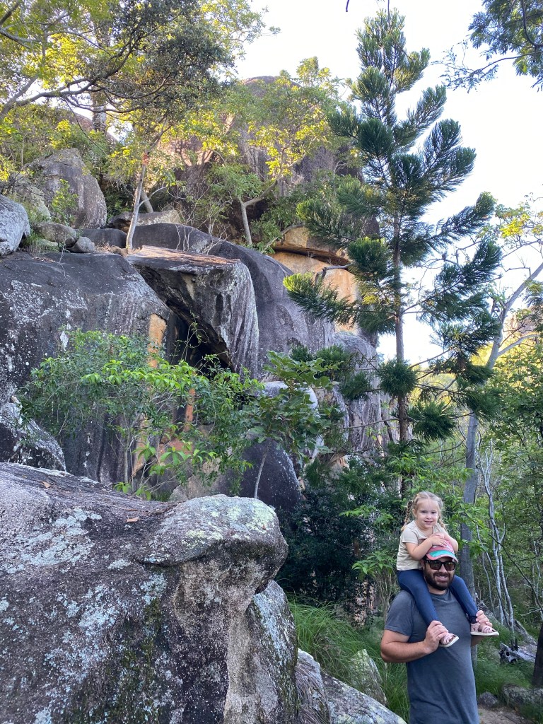
It was a steep and rocky climb to the top. We had the opportunity to take a few photos from around 250m into the walk.
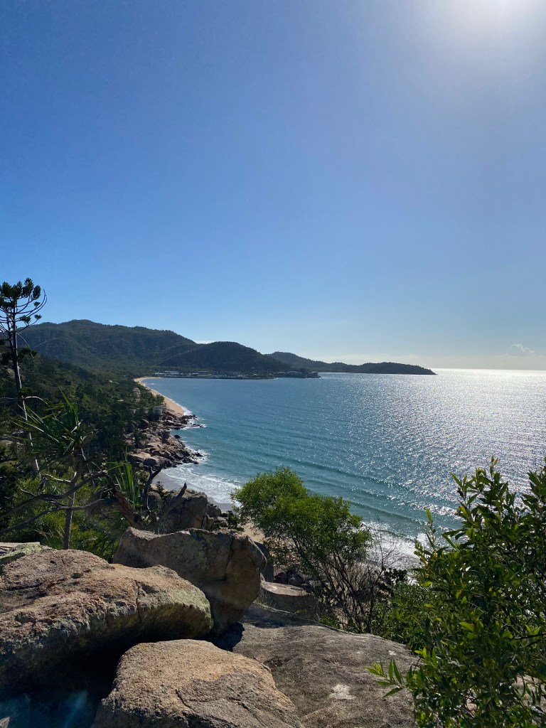
We climbed to the top and had some amazing views.
After the climb comes the descent. Madeline, in her wisdom, decided to walk. So down we went.
After arriving back at the car, after what seemed like forever, we realised that we had forgotten Madeline’s change of clothes. Madeline was insisting on taking her own bag from home, so I packed her clothes in her strawberry backpack. When we unpacked things to take on the ferry, Jason thought that it was just to appease her, and left it.
So off to Magnetic Island St Vincent de Paul we went.

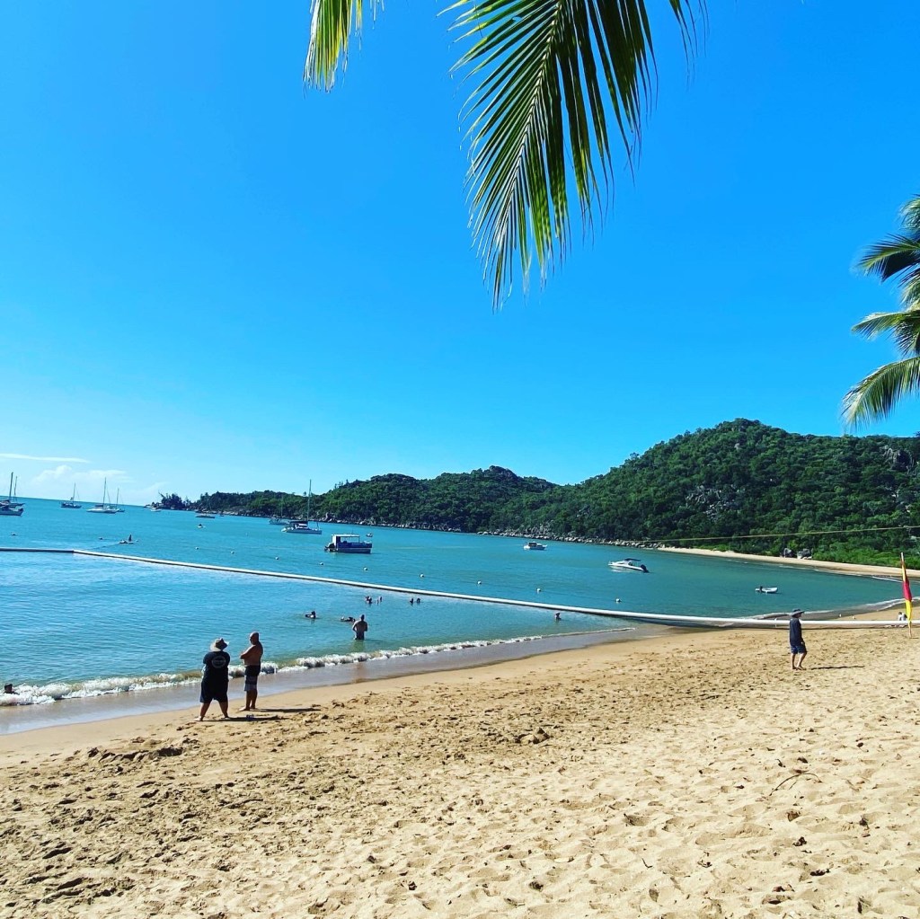
After this we drove to Alma Bat for a swim. The wind was coming from the SE and so it was rough in the water.
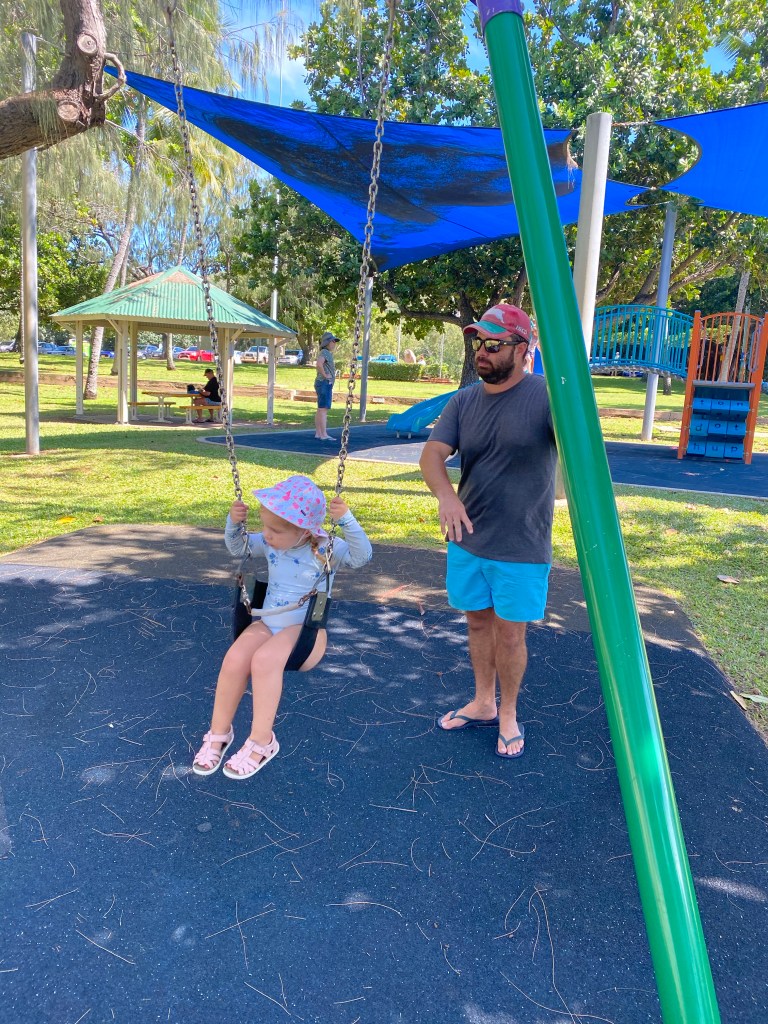
After a quick morning tea snack and some play in the sand, Madeline wanted to go to the playground.
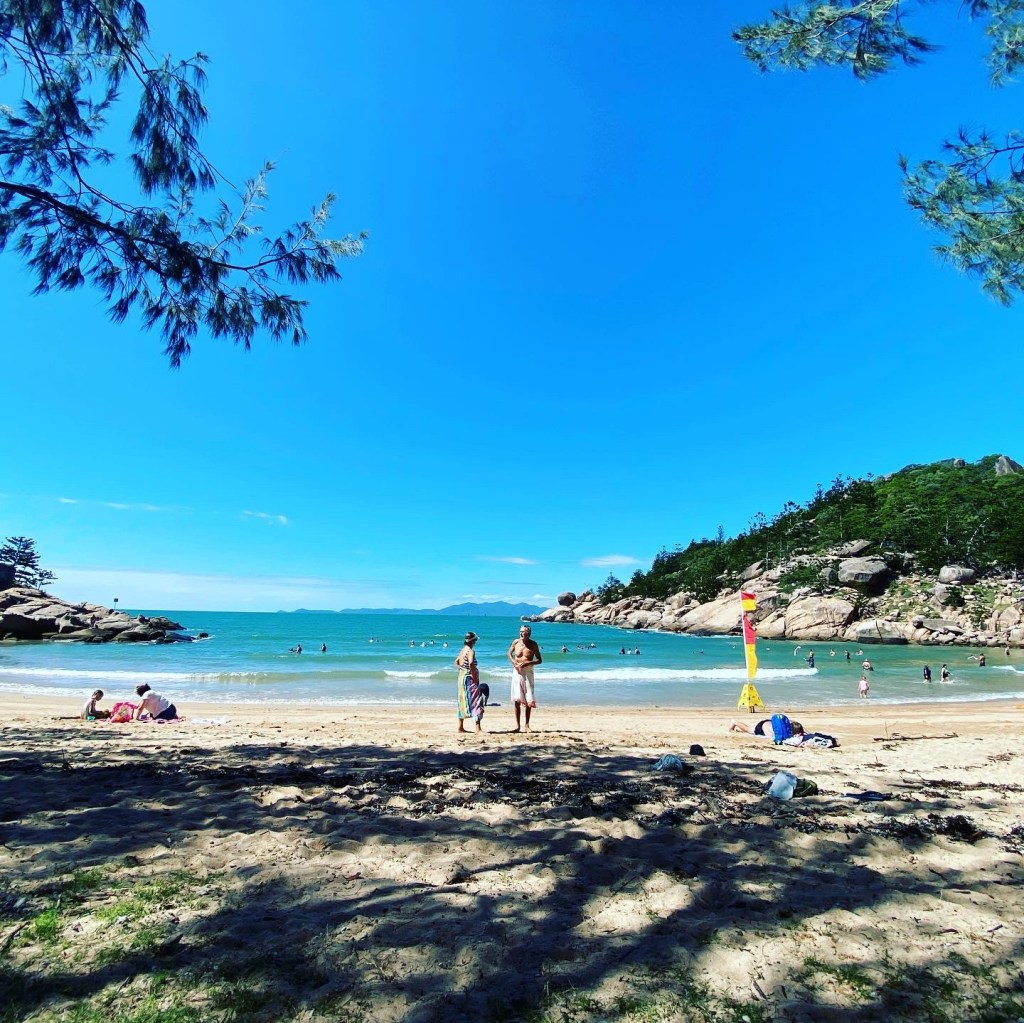
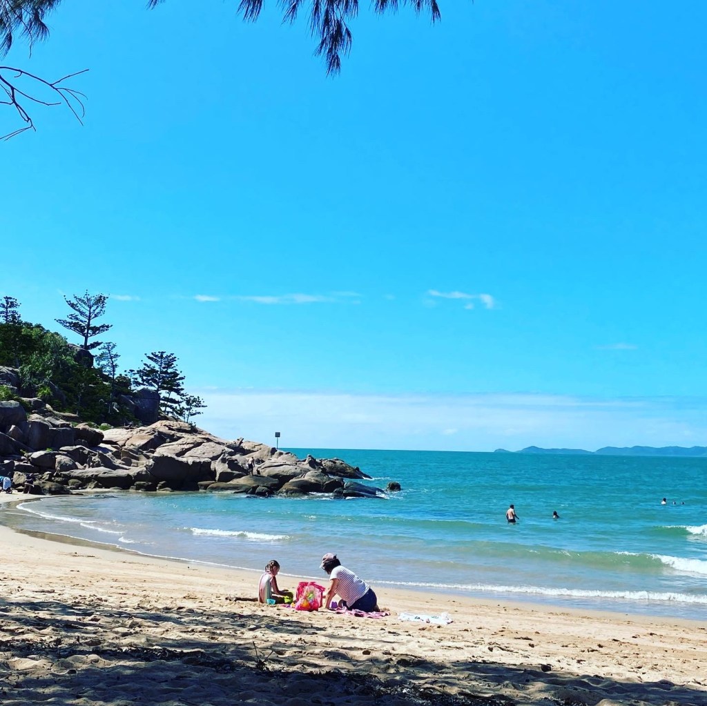
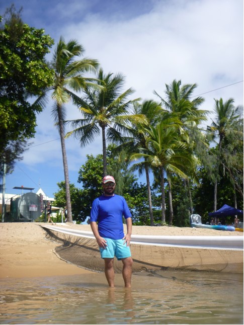
After this we drove across to Horseshoe Bay on the Northern end of the Island. We found parking and went to order lunch. We had some nice fish and chips.
It was time to hit the beach again after lunch.
The water was a cool 25 degrees but we all eventually got in.
Madeline reluctantly tried her swim ring and fell in love.
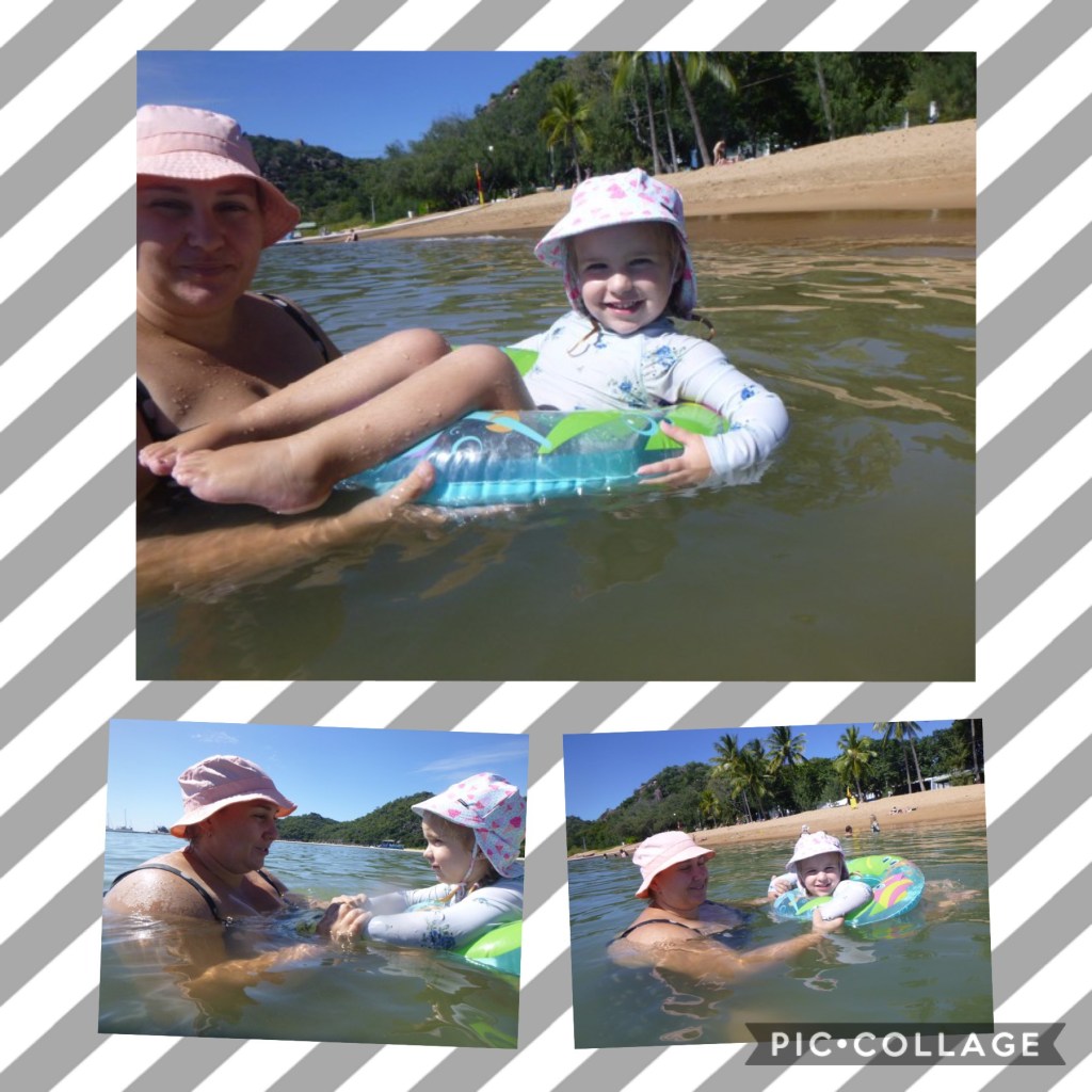
We spent a few hours in the water playing and swimming.
We got out of the water at 215 and got dried up. We bought icecream and relaxed a bit before hitting the road.
We returned our car at 3pm at the request of Madeline, who didn’t like the car.
We boarded the SeaLink ferry at 400pm and headed back to our car on arrival.
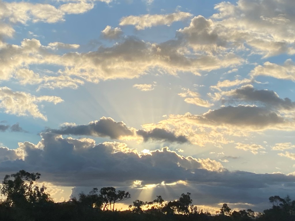
We drove to the van just in time to cook dinner and capture this photo..,
Magnetic History
The island is called Yunbenun, by the Wulguru, its Indigenous inhabitants. It had a transient population of Aboriginal people well before European exploration of the area. They had seasonal camps at a number of bays, and travelled between the island and mainland using canoes.
The first European accounts of the island come from Captain James Cook who, in 1770, while navigating the Australian coast, called the island Magnetical Island, as a magnetic pull interfering with his vessel’s compass appeared to emanate from the island.
As Townsville developed through the mid-19th century, Magnetic Island became a valuable location for the gathering of hoop pine and granite, the latter of which was used in the reclamation of land for the Port of Townsville, and for construction of Townsville’s Customs House
European Settlement
In the mid-19th century the island became a popular location for the collection of stone and coral needed for development on the mainland. Even substantial quantities of gold were mined in 1886.
In 1875, the island was set aside as a quarantine station although it took another ten years for the proper facilities to be set up at West Point.
World War II
Magnetic Island became an important defensive position during World War II because of its proximity to Townsville, an important military base, and its views over Cleveland Bay, a significant anchorage and assembly point for large fleets and convoys operating in the south Pacific.
Magnetic battery was built as an artillery battery and observation post.
Post World War II
In late December 1971 Cyclone Althea hit the North Queensland coast directly crossing Magnetic Island. The island, along with much of the mainland, was devastated with 90% of the island’s houses damaged or destroyed, some simply lifted off their foundations and tossed into trees. The island, along with the mainland, soon recovered.
In July 2012, a six hectare section of the island was granted to the Wulgurukaba Yunbenun Aboriginal Corporation under freehold title and a further 55 hectare section under a Deed of Grant in Trust.
Nature
The island is a haven for wildlife. 76% of the island is Magnetic Island National Park, which is mostly located on the steep hilly interior and rugged north-western side.
The highest point on the island is Mount Cook reaching 497 m (1,631 ft) above sea level.
As of 2013, there are over 800 koalas estimated to be present on the island; this population represents the northern limit of their geographic range.